Guides · Nature
Flores island guide: crater lakes, waterfalls and Rocha dos Bordões
Europe's westernmost island is all water and green cliffs: crater lakes, dozens of waterfalls and a basalt wall like organ pipes. How to plan a trip to Flores.
3 min read
Updated 18 October 2026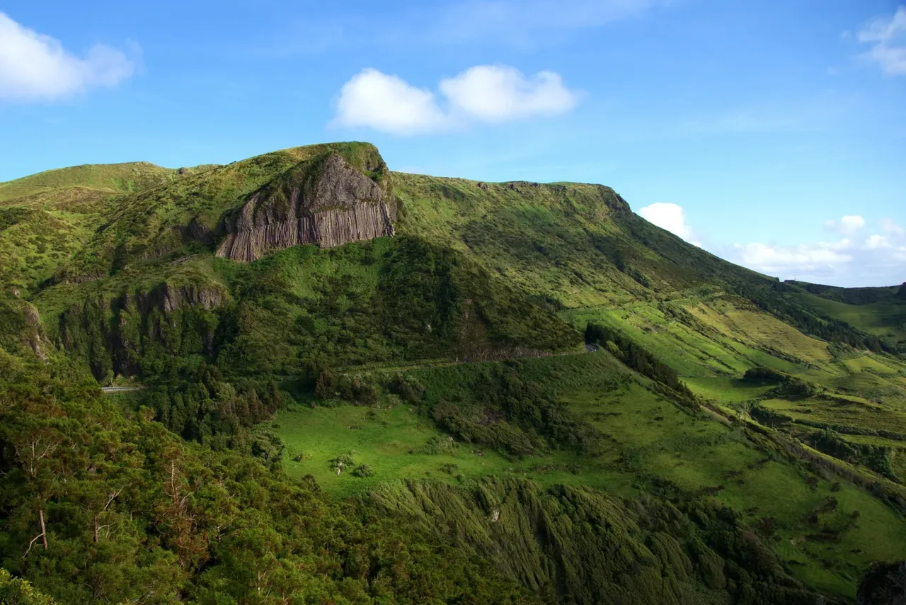
Flores, together with tiny Corvo, forms the Western Group of the Azores, and its western tip is the westernmost point of Europe. It is one of the greenest islands in the archipelago, and that water is what makes it special: crater lakes on the central plateau, streams that run off it, and waterfalls pouring down the cliffs. Flores joined UNESCO's World Network of Biosphere Reserves on 27 May 2009.
Getting there and around
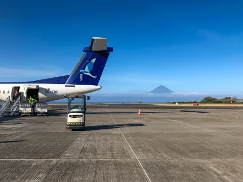
Flores has an airport and is among the destinations served from Ponta Delgada, and SATA Air Açores also links it with Corvo. The island is about 17 km long, and the main settlements are Santa Cruz das Flores on the east coast and Lajes das Flores in the south. Roads wind a lot, so leave extra time between stops.
The crater lakes
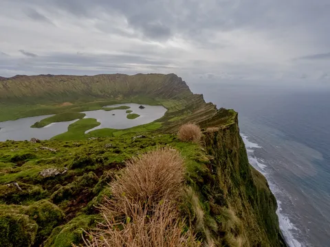
Seven volcanic craters on Flores now hold lakes. On the central plateau, Caldeira Negra, also called Caldeira Funda, is the deepest at around 105 m, with Caldeira Comprida, Caldeira Branca and Caldeira Seca close by. Further south, Caldeira Rasa and another Caldeira Funda sit side by side at different heights, and Caldeira da Lomba lies on its own, ringed by hydrangeas. Morro Alto, the island's highest point at 911 m, gives a sweeping view over the plateau when the cloud lifts.
Rocha dos Bordões
This is the island's best-known landmark: a hillside of tall vertical basalt columns that look like the pipes of an organ. Moss and lichen cover the rock, so its colour changes with the light and the weather. Come back at a different time of day and it can look like a different rock.
The waterfall coast of Fajã Grande
Between Fajãzinha and Fajã Grande on the west coast, a long green cliff carries almost twenty waterfalls, the tallest being the Ribeira Grande fall at around 300 m. At the foot of the cliff are permanent pools such as Poço do Bacalhau and Poço da Alagoinha, also known as Lagoa dos Patos. A walk to the foot of the cliff brings you close to the falls, and the pools invite a cold swim.
After heavy rain the waterfalls are at their most dramatic, but paths get slippery. Keep back from the base of steep cliffs and check the weather before setting out.
For a broader picture of the island's nature, the Natural Park runs the Boqueirão Environmental Interpretation Centre and maintains several walking trails through its protected areas.
Hopping across to Corvo
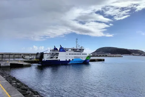
Corvo lies just across the channel from Flores. Atlânticoline runs a regular sea link between the two islands, and there are also flights. Crossings depend on sea conditions and the season, so keep a spare day in your plans in case a sailing or flight is cancelled.
- Topic
- Nature
- Islands
- Flores
- Reading time
- 3 min