Guides · Nature
Faial island guide: Horta marina, the Caldeira and Capelinhos
A sailors' harbour town, a vast green crater and the newest land in the Azores. How to spend two or three days on Faial, the Blue Island.
4 min read
Updated 18 October 2026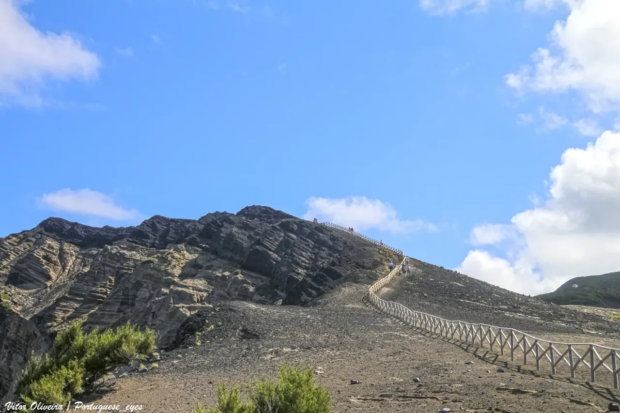
Photo: Vitor Oliveira from Torres Vedras, PORTUGAL · CC BY-SA 2.0
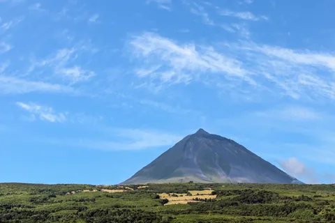
Faial is small, friendly and easy to explore, and it punches well above its size. It is the westernmost of the three Triangle Islands, with Pico just 6 km across the channel and São Jorge a little further off. Visit Azores calls it the Blue Island, after the hydrangeas that line its roads and field edges.
What makes Faial different
Horta has looked out to the wider world for centuries: it was a stop for transatlantic ships, whalers and later the submarine telegraph cables, and today it is the seat of the Azores' Regional Parliament. Its marina, opened in 1986, is a famous port of call for ocean-crossing yachts. Crews traditionally leave a painting on the harbour walls and breakwater before sailing on, said to bring a safe passage, so the quay has become an open-air gallery of boat names and flags from all over the world. Inland, the island's high point is Cabeço Gordo (1,043 m), on the rim of the great central Caldeira. At the western tip, the Capelinhos eruption of 1957 and 1958 added brand new land to the island.
Places not to miss
- Horta: the marina walls, Peter Café Sport and its Scrimshaw Museum, the Horta Museum in the old Jesuit College, and the former whaling factory at Porto Pim.
- Monte da Guia and Ponta da Espalamaca: lookouts over the bays of Horta and Porto Pim, with Mount Pico filling the view.
- The Caldeira: a crater about 2 km across, its walls wrapped in native vegetation and a lake far below the lookout. The circular PRC4FAI trail follows the rim.
- Capelinhos: a grey, almost lunar landscape of ash, cliffs and the old lighthouse. Next to it, the underground Capelinhos Volcano Interpretation Centre tells the story of the eruption, the formation of the islands and the Azorean lighthouses, and you can climb the lighthouse tower for the view.
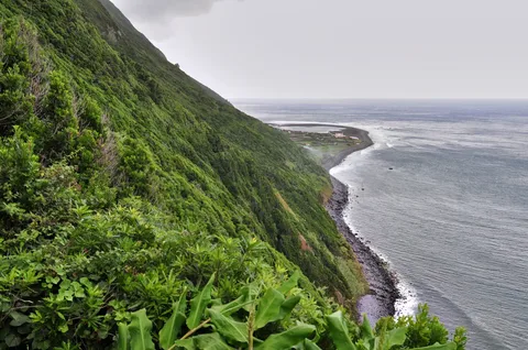
- The coast: the white trachyte rock of Morro de Castelo Branco, the cliffs of Costado da Nau and the sand beaches of Porto Pim, Almoxarife and Praia do Norte.
- The countryside: the Flamengos valley, red-painted windmills and the ruined Ponta da Ribeirinha lighthouse, damaged in the 1998 earthquake, with views to São Jorge.
Getting there and how long to stay
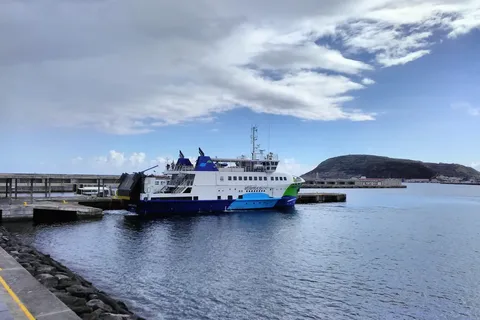
Horta is one of the Atlânticoline ferry ports in the central islands, alongside Madalena on Pico and Velas and Calheta on São Jorge, which makes Faial an easy base for island hopping. See our ferries and inter-island flights guides for routes. Two full days cover the highlights: one for Horta and the Caldeira, one for Capelinhos and the coast. Add a third to cross to Pico for the day.
Nature, safety and when to go
The Caldeira rim sits between about 840 and 1,040 m, and the trail notes advise walking it only in good weather and clear visibility. The same applies to the longer PR6FAI Dez Vulcões route, which runs from the Caldeira along a chain of volcanic cones down to Capelinhos. At Capelinhos itself, keep to the marked paths and well back from the cliff edges.
Summer is the liveliest time. On 1 August a procession of boats carries Our Lady of Guia from Porto Pim to Horta, launching the Semana do Mar, a week of concerts, food stalls and whaleboat regattas. Earlier in the year, Horta celebrates Nossa Senhora das Angústias on the sixth Sunday after Easter, and São João on 24 June.
Before you leave Horta by sea, find a quiet spot on the marina wall and look for paintings from boats you might know. Try the fofas do Faial, a fennel-scented cream pastry, with your coffee.
- Topic
- Nature
- Islands
- Faial
- Reading time
- 4 min