Guides · Nature
São Jorge island guide: fajãs, cliff trails and famous cheese
A long, narrow ridge with more than 70 fajãs at the foot of its cliffs and a cheese known across the Azores. How to plan São Jorge.
3 min read
Updated 18 October 2026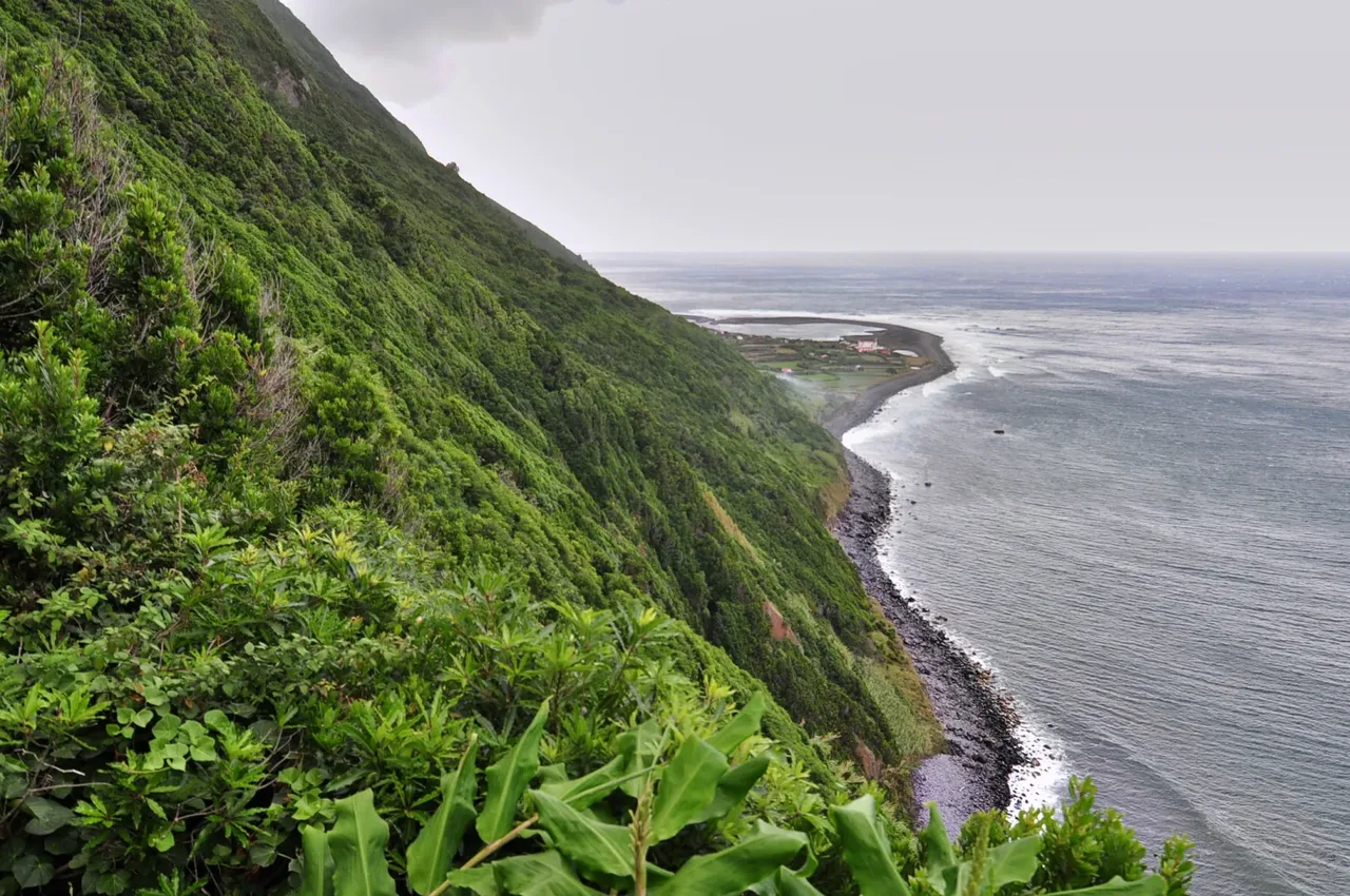
From Pico or Faial, São Jorge looks like a long green wall in the sea. It is 54 km long but never more than about 7 km wide, a single volcanic ridge with steep cliffs on both sides. That shape gives the island its character: winding roads, sweeping views over the channel to Pico, and dozens of small worlds tucked away at the bottom of the cliffs.
What makes São Jorge different
Those small worlds are the fajãs, flat strips of land at sea level formed by lava flowing into the sea or by landslides from the cliffs above. Visit Azores counts more than 70 of them. Sheltered from the wind and fog of the high ground, many have their own microclimate where beans, taro, bananas and even coffee grow. The other great name here is cheese: São Jorge cheese, made from raw cow's milk, has Protected Designation of Origin status, and the whole island is its demarcated production area.
Places not to miss
- Fajã da Caldeira de Santo Cristo: a fajã on the north coast with a protected lagoon, a small sanctuary and an environmental interpretation centre. The lagoon is the only place in the Azores with clams, and the fajã is known as a surf and bodyboard sanctuary.
- Fajã dos Cubres: the neighbouring fajã, with its own coastal lagoon and the church of Nossa Senhora de Lourdes.
- Fajã dos Vimes: on the south coast, known for hand-woven bedspreads and locally grown coffee.
- Velas: the main town, entered from the harbour through the Portão do Mar sea gate, in use since 1799.
- Urzelina and Manadas: a lone church tower standing in black lava, all that remains after the 1808 eruption, and the richly decorated Baroque church of Santa Bárbara.
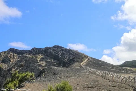
- The ridge: lookouts on Pico da Esperança (1,053 m), the island's highest point, and the peaks of Velha and Areeiro, with views to Faial, Pico and Graciosa.
- The ends of the island: the cliffs of Ponta dos Rosais facing Faial, and the headland and islet of Topo in the east.
Walking to Caldeira de Santo Cristo
The classic way to reach Santo Cristo is on foot. The PR1SJO trail covers about 10 km, starting high up by the Serra do Topo wind farm, dropping through native heather and juniper to the fajã, then following the coast past the abandoned Fajã do Belo to Fajã dos Cubres. It is mostly downhill, which is hard on the knees, and the ground near the Tia Júlia bridge can be slippery. Because the route is linear, arrange transport at both ends before you set out.
Getting there, how long and when
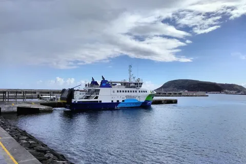
São Jorge has an airport and two ferry ports, Velas and Calheta, both on the Atlânticoline network that links the central islands. See our ferries and inter-island flights guides to plan your connections. Three days lets you walk to Santo Cristo, drive the ridge and explore the south coast fajãs at an easy pace.
Remember that fajãs sit below high cliffs that can shed rock after heavy rain or earthquakes, so respect any closures and warning signs. Higher up, wind and fog are common, so carry a layer and take the ridge roads slowly. For festivals, Velas honours São Jorge on 23 April, July brings the Semana Cultural das Velas and Calheta's Festival de Julho, and the Holy Ghost festivals run from May to September.
Try São Jorge cheese on its home island: it comes in large rounds cut into wedges, firm in texture with a gently peppery finish.
- Topic
- Nature
- Islands
- São Jorge
- Reading time
- 3 min