Guides · Nature
Pico island guide: the mountain, the vineyards and the whales
Portugal's highest peak, UNESCO-listed lava vineyards and a proud whaling past. What to see on Pico and how the mountain climb works.
4 min read
Updated 18 October 2026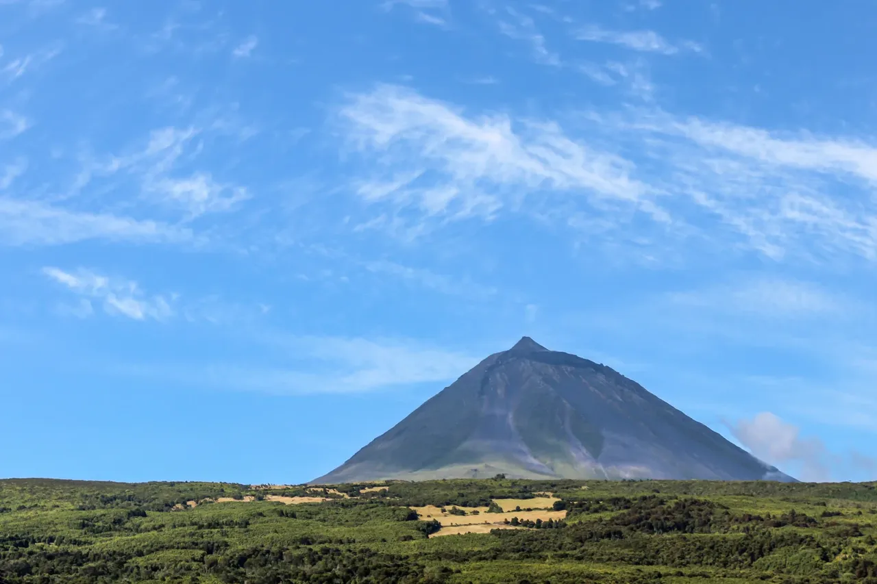
Pico is the second largest island in the Azores, and the one you see from almost everywhere in the central islands. Its volcano, Montanha do Pico, rises to 2,350 m, the highest point in Portugal. The rest of the island is quieter than the mountain suggests: black lava fields, stone-walled vineyards running to the sea, small whaling harbours and a long green ridge dotted with lakes. Faial is only 6 km away, across the channel.
What makes Pico different
Two things above all. The first is the mountain, a near-perfect cone with a small summit cone, the Piquinho, inside its crater. The second is wine. On the bare lava along the coast, generations of islanders built long basalt walls enclosing thousands of small plots, the currais, to shelter the vines from wind and salt. That landscape is protected by UNESCO as the Landscape of the Pico Island Vineyard Culture. Pico was also a centre of Azorean whaling until the hunt ended in 1986; today the same waters are known for whale watching.
Places not to miss
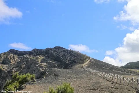
- Criação Velha and Santa Luzia: the best places to see the vineyard walls up close. The PR5PIC trail runs from Porto do Calhau to Areia Larga past rola-pipas, the ramps once used to roll barrels down to the boats.
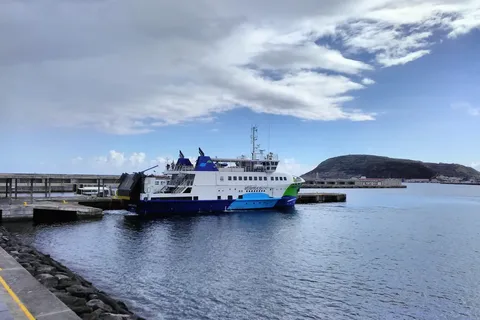
- Madalena: the ferry town, with the Wine Museum in a former Carmelite friars' house surrounded by old dragon trees.
- Lajes do Pico and São Roque: the Whalers' Museum in Lajes and the Whaling Industry Museum in São Roque, where the furnaces and boilers once used to process sperm whales are on show.
- Santo Amaro: a traditional boatyard where wooden boats are still built by hand.
- The Achada plateau: a high ridge of small volcanic cones and lakes such as Lagoa do Capitão.
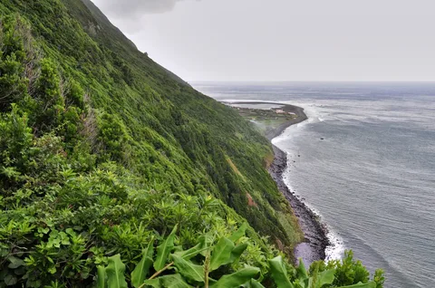
- Lava coast: the mistérios, lava fields from historic eruptions, and the high cliffs seen from the Terra Alta lookout.
Climbing Mount Pico
The mountain is a Nature Reserve, and every climb must be registered. Independent hikers book on the official Montanha do Pico site, which also lists the certified mountain guides; the site recommends going with a licensed company and guide. On the day, you register at the Casa da Montanha, at about 1,200 m where the road ends above Madalena, and receive a GPS tracker that must stay switched on. Outside the Casa da Montanha's opening hours, registration moves to the Madalena volunteer fire station. Under the access regulation, you may only use the marked PRC4PIC trail, numbers are capped each day, time on the Piquinho is limited, under-16s must be accompanied by an adult, and a night in the crater needs a booking at least 24 hours ahead.
Take it seriously. The park's conduct rules ask you to carry at least 1.5 litres of water and energy food, to pack warm and waterproof layers, gloves, hat and hiking boots, and to turn back if the weather changes. Staff can refuse access without suitable gear, with a baby in arms or with a pet. Conditions are especially unstable in winter.
Getting there, how long and when
Madalena is one of the ports on the Atlânticoline network, a short crossing from Horta on Faial; our ferries and inter-island flights guides cover the options. Allow three days: one for the mountain, one for the vineyards and the west, and one for the whaling villages and the eastern ridge. The Casa da Montanha is open around the clock from May to September, the easiest time to climb. In August, São Mateus honours the Senhor Bom Jesus Milagroso around the 6th, Lajes holds its Whalers' Week at the end of summer, and Madalena celebrates the grape harvest in September.
Keep a spare day in your plan for the climb. If the summit is wrapped in cloud, walk the vineyards instead and try again tomorrow.
- Topic
- Nature
- Islands
- Pico
- Reading time
- 4 min