Trails · Hard
Grande Rota do Oeste
A long cross-island trek through Terceira's west, moving from forest reserves to coastal cliffs and open mountain ground in two manageable stages.
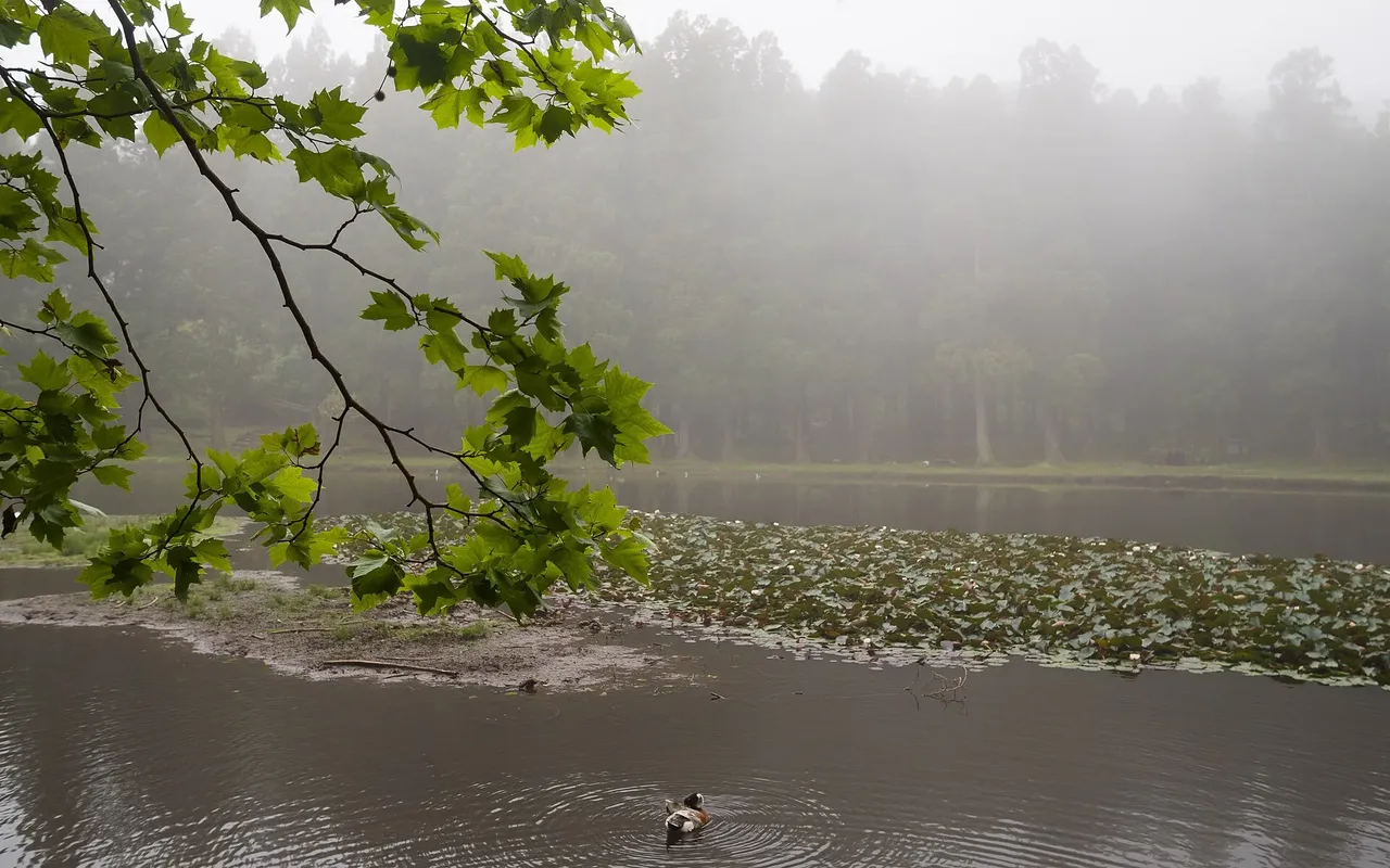
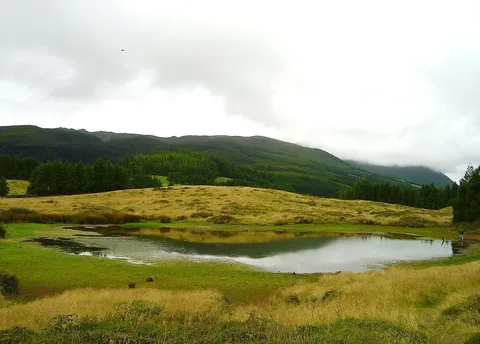
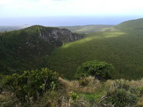
Grande Rota do Oeste is Terceira's long cross-island route, tracing the whole western end of the island from one forest reserve to another. Along the way the landscape shifts constantly: managed recreation areas, patches of semi-natural forest, open coastal cliff tops and stretches of high mountain ground, each with its own character.
The route runs from the Forest Reserve and Recreation Park of Lagoa das Patas to the Forest Reserve and Recreation Park of Mata da Serreta, and it is officially split into two stages of about 21.9 km and 9.3 km. Walking it in one go or breaking it across two days both work; pick whichever matches how much daylight you have.
This is rated a hard route and covers roughly 31 km with an official walking time of about ten hours and roughly 1,400 m of climbing and 1,700 m of descent along the way, so most people treat it as a two-day outing rather than a single push. The distance and the exposed, varied terrain are what make it demanding, not any one obstacle.
Wild camping isn't allowed on Terceira, so anyone splitting the route overnight should book one of the local lodging or rural tourism places on the west side of the island ahead of time. Carry enough food, water and extra layers for a full day out, since there's a long stretch between any kind of shelter.
Elevation · from the official GPX
Up and down the trail
Plan your walk · MET Norway & IPMA
When to go
Pick a start time. We forecast where you'll be each hour — 49 m at the lowest point, 779 m at the top.
Official facts, our words
What to know
Trail facts
Difficulty Hard- Length
- 31.2 km
- Duration
- 10 hr
- Elevation gain
- 1,415 m
- Route
- Linear
- Highest point
- 779 m
- Steepest descent
- 28% at km 20.4
- Start
- Lagoa das Patas
- Finish
- Mata da Serreta
- Permit
- Not required
- Trail code
- GR01TER
Route and facts © Azores trails network (visitazores.com)