Trails · Moderate
Rocha do Chambre
A high interior loop to Terceira's highest viewpoint over the Pico Alto crater, through cedar woods and endemic shrub, best saved for a clear day.
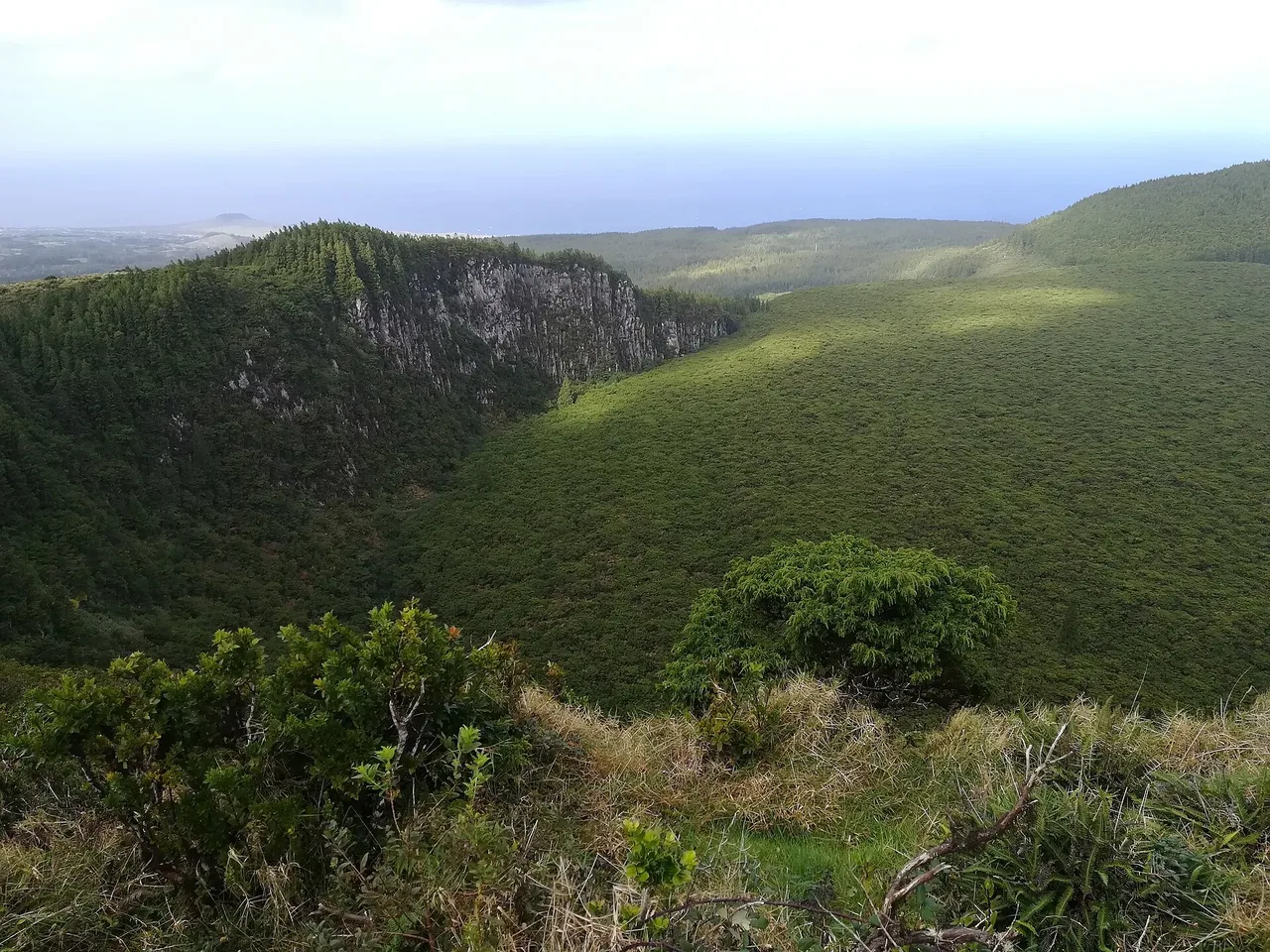
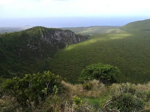
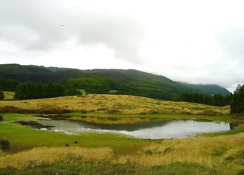
This loop climbs through the interior of Terceira, starting on a dirt track that gives way to a cobbled country road through endemic Azorean heather, Azores laurel and Azores juniper before entering a wood of Japanese cedar alongside a stream.
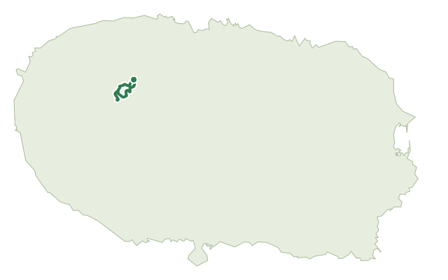
Past an agricultural field and a viewpoint over Vale do Azinhal, the forest opens onto a clearing with a view into the Pico Alto crater, then follows the cliff edge up to the trail's highest point at Rocha do Chambre - Juncal, around 704 m, an area rich in endemic plants and shaped by trachytic domes. The route continues along the cliff, crosses a bridge, passes a second viewpoint over Rocha do Chambre, then drops past farmland back through a stretch flanked by a stone wall and Azorean heather to the start.
It's a medium route of about 8.7 km and two and a half hours, with roughly 320 m of climbing across the loop; remember to close any gates you open along the pastures.
Elevation · from the official GPX
Up and down the trail
Plan your walk · MET Norway & IPMA
When to go
Pick a start time. We forecast where you'll be each hour — 468 m at the lowest point, 706 m at the top.
Official facts, our words
What to know
Trail facts
Difficulty Moderate- Length
- 8.7 km
- Duration
- 2 hr 30 min
- Elevation gain
- 321 m
- Route
- Circular
- Highest point
- 706 m
- Steepest climb
- 25% at km 3.8
- Start
- Rocha do Chambre
- Finish
- Rocha do Chambre
- Permit
- Not required
- Trail code
- PRC06TER
Route and facts © Azores trails network (visitazores.com)