Trails · Easy
Lagoa do Cerro
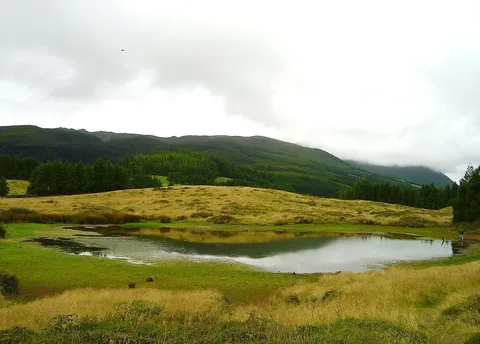
An easy highland loop to a birdwatching lagoon in the Terceira Nature Park, with views north from the trail's highest point.
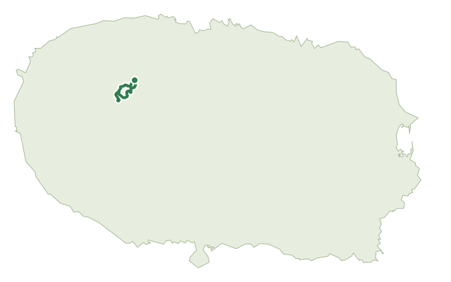
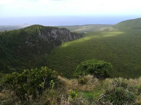
This loop begins near the artificial lakes of Altares, in the upper part of the parish, and climbs through a changing mix of landscapes: Japanese cedar plantation, high-altitude natural pasture, forest and native vegetation, inside two protected areas of the Terceira Nature Park.
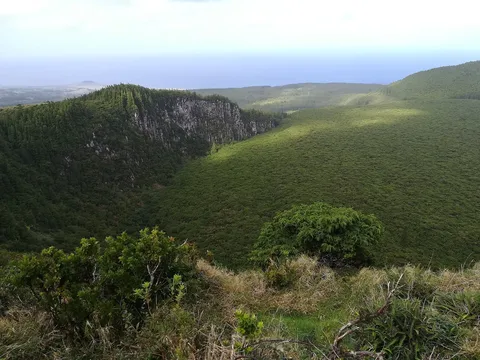
The viewpoint at the trail's highest point, around 650 m, looks north over the island, especially toward the Picos Vermelhos and the Serra do Narião massif. The main draw is Lagoa do Cerro, a wetland rich in birdlife with its own birdwatching infrastructure; look out too for native plants along the way, including mountain cedar, Azorean heather, Azorean cherry, Azorean holly and the rare aquatic fern Isoetes azorica growing in boggy ground.
It's rated easy and covers about 6.4 km, with much of the route above 500 m, so it's best saved for a day with good visibility.
Elevation · from the official GPX
Up and down the trail
Plan your walk · MET Norway & IPMA
When to go
Pick a start time. We forecast where you'll be each hour — 401 m at the lowest point, 640 m at the top.
Official facts, our words
What to know
Trail facts
Difficulty Easy- Length
- 6.4 km
- Elevation gain
- 269 m
- Route
- Circular
- Highest point
- 640 m
- Steepest climb
- 15% at km 2.0
- Start
- Lagoas de Altares
- Finish
- Lagoas de Altares
- Permit
- Not required
- Trail code
- PRC13TER
Route and facts © Azores trails network (visitazores.com)