Trails · Moderate
Malha Grande - Biscoitos
A long downhill walk from the island's interior highlands to the natural swimming pools of Biscoitos, through lava caves and basalt vineyards.
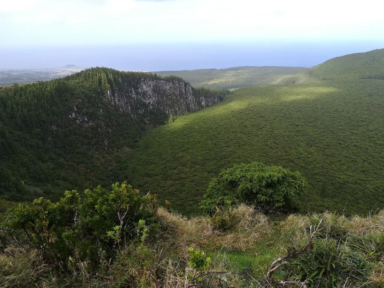
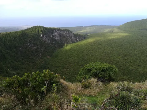
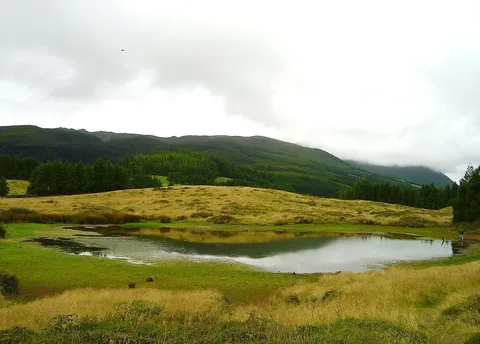
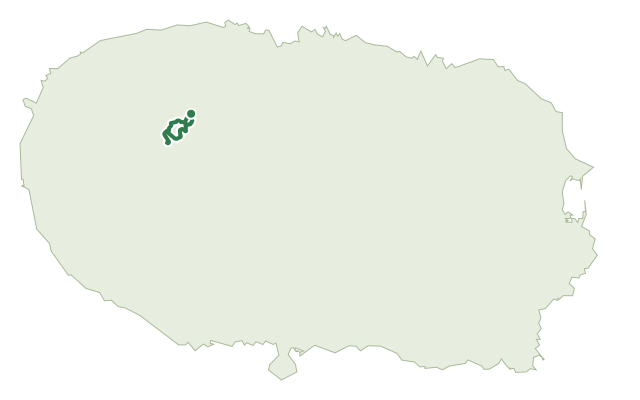
This route drops from Terceira's volcanic interior near Rocha do Chambre all the way down to the coastal village of Biscoitos, moving through pasture, native shrubland and forest as the land falls toward the sea.
The path climbs briefly to the Rocha do Chambre viewpoint and the geodesic marker at the trail's high point, with views over the Pico Alto crater, before dropping toward Vale do Azinhal and past the Gruta dos Balcões, a lava tube left by the island's last eruption on land in 1761. Lower down it crosses old orchards and lapilli tracks, crosses the regional road, and reaches Baía das Pombas, where World War II coastal defence trenches still sit above the first swimming spot, before finishing through the basalt vineyards of Biscoitos at its natural swimming pools.
At just over 14 km and around three and a half hours, this is a medium route, and mostly downhill: it climbs about 290 m overall but drops more than 760 m from the highlands to the coast.
Elevation · from the official GPX
Up and down the trail
Plan your walk · MET Norway & IPMA
When to go
Pick a start time. We forecast where you'll be each hour — 3 m at the lowest point, 704 m at the top.
Official facts, our words
What to know
Trail facts
Difficulty Moderate- Length
- 14.4 km
- Duration
- 3 hr 30 min
- Elevation gain
- 284 m
- Route
- Linear
- Highest point
- 704 m
- Steepest descent
- 22% at km 4.6
- Start
- Rocha do Chambre
- Finish
- Biscoitos
- Permit
- Not required
- Trail code
- PR09TER
Route and facts © Azores trails network (visitazores.com)