Trails · Moderate
Serreta
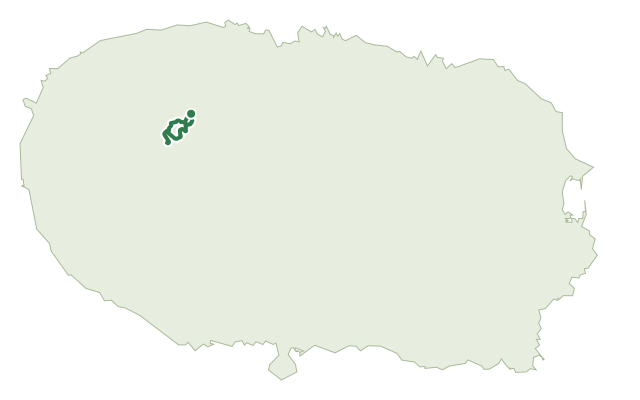
A steady climb through endemic laurel forest to a crater lake on the flank of Serra de Santa Bárbara, finishing past a hedge of hydrangeas.
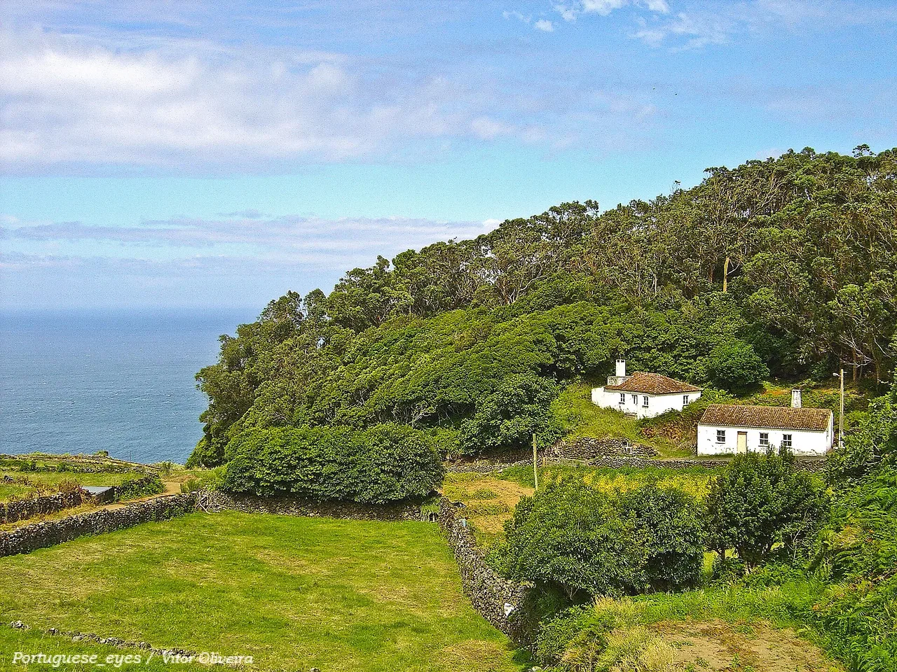
Photo: Vitor Oliveira from Torres Vedras, PORTUGAL · CC BY-SA 2.0
This loop climbs through the Natural Park of Terceira, in the Natural Reserve of Serra de Santa Bárbara and Mistérios Negros, following a dirt track that narrows into a path lined with Azorean heather, Azores juniper, laurustinus, Azorean angelica and Azorean St. John's wort.
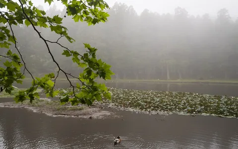
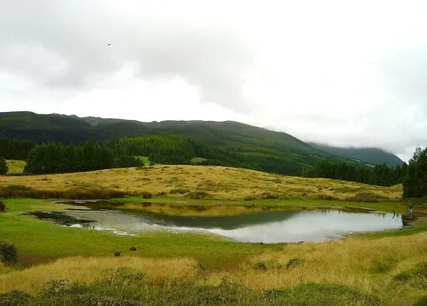
Further on native Azores laurel, juniper and holly border the track up to Lagoinha, a small lagoon on the flank of the Serra de Santa Bárbara volcano ringed by cedar typical of the Azorean laurel forest. The route doubles back and drops into pasture to Ribeira do Além, a watercourse that cuts through lava flows and the domes of Biscoito da Fajã in a deep, vegetated valley, then follows the stream past a viewpoint below Pico do Negrão before returning along a track flanked by hydrangeas to the start.
It's a medium route of about 6.6 km and two and a half hours, with a steady climb of roughly 480 m up the volcano's flank to around 775 m and the same back down.
Elevation · from the official GPX
Up and down the trail
Plan your walk · MET Norway & IPMA
When to go
Pick a start time. We forecast where you'll be each hour — 342 m at the lowest point, 775 m at the top.
Official facts, our words
What to know
Trail facts
Difficulty Moderate- Length
- 6.6 km
- Duration
- 2 hr 30 min
- Elevation gain
- 478 m
- Route
- Circular
- Highest point
- 775 m
- Steepest descent
- 32% at km 5.6
- Start
- Canada da Fonte
- Finish
- Canada da Fonte
- Permit
- Not required
- Trail code
- PRC03TER
Route and facts © Azores trails network (visitazores.com)