Trails · Moderate
Agrião
A linear coastal walk from Povoação to Ribeira Quente past a wood-pigeon-sheltering bridge and the island's Lenten pilgrim route, to a Santa Maria viewpoint.
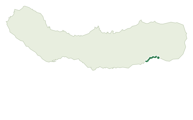
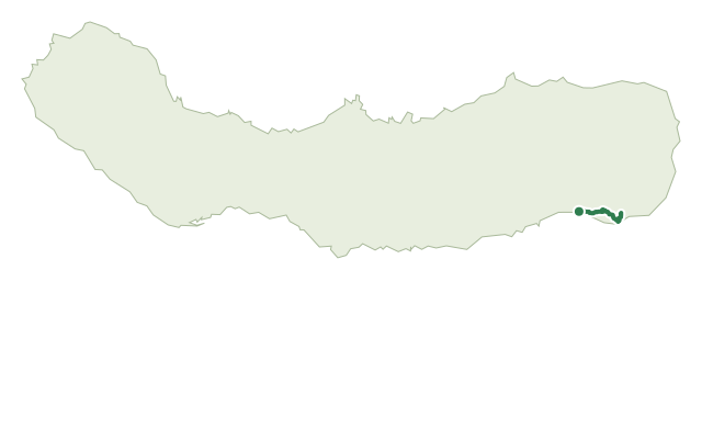
Agrião runs along São Miguel's south-east coast from Povoação to Ribeira Quente, named for the fertile land once farmed in the Agrião area and still used today by the island's Lenten pilgrims on their romarias quaresmais. When the sea is calm and the sand clear, the opening stretch follows the beach past the foot of the Ponte de Ferro, a century-old iron bridge over the Ribeira dos Pelames that shelters the Azores wood pigeon; in rough weather or at high tide, the road above is the safer option.
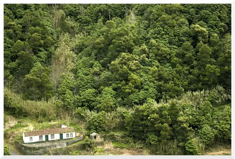
Beyond the bridge, the road climbs to a detour at Lomba do Cavaleiro, with views toward Tronqueira and the Graminhais plateau, before a dirt track drops to the Ribeira do Agrião, crossed carefully, especially after rain. The trail then climbs back up through woodland of Australian cheesewood and blackwood acacia.
The route continues parallel to the coast to Ribeira Quente, rounding the private headland of Ponta do Garajau, where clear days bring views out to Santa Maria and the hillside Ermida de Santa Rita. At 7.1 km and about 3 hours, with roughly 730 m of climbing each way, it's a steady, up-and-down walk that finishes at Ribeira Quente's harbour, worth a stop to explore the parish.
Elevation · from the official GPX
Up and down the trail
Plan your walk · MET Norway & IPMA
When to go
Pick a start time. We forecast where you'll be each hour — 8 m at the lowest point, 246 m at the top.
Official facts, our words
What to know
Trail facts
Difficulty Moderate- Length
- 7.1 km
- Duration
- 3 hr
- Elevation gain
- 733 m
- Route
- Linear
- Highest point
- 246 m
- Steepest descent
- 35% at km 6.0
- Start
- Povoação
- Finish
- Ribeira Quente
- Permit
- Not required
- Trail code
- PR12SMI
Route and facts © Azores trails network (visitazores.com)