Trails · Moderate
Sanguinho
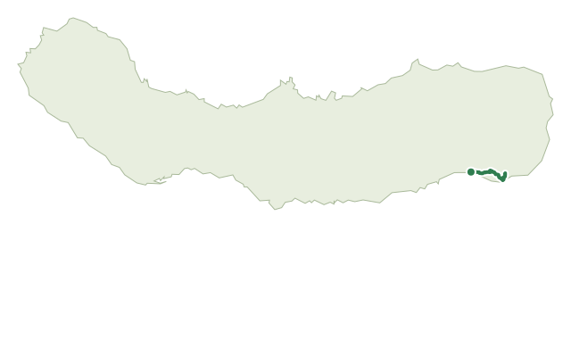
A short, steep-sided loop from Faial da Terra to the Salto do Prego waterfall and the half-restored hamlet that gives the trail its name.
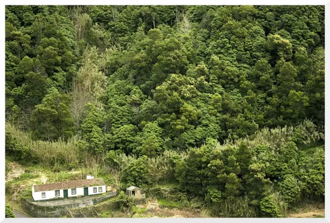
From the bus stop in Faial da Terra, the trail climbs the asphalt road to a fork and continues on a dirt track along the stream's left bank, past orchards that belong to small family farms (the fruit is not for picking). A footbridge crosses to the far bank, where a side path climbs to the base of the Salto do Prego waterfall and on to its upper stream.
Backtracking to the second fork, the route heads to Aldeia do Sanguinho, a hamlet being restored house by house and named for the buckthorn (Frangula azorica) that still grows around it. From here a steep, winding cobbled road drops back toward the stream and the information panel where the walk began.
It's a medium 4.6 km loop that takes about 2 hours, with around 640 m of combined climbing and descending as the path dips to the waterfall and climbs back out twice.
Elevation · from the official GPX
Up and down the trail
Plan your walk · MET Norway & IPMA
When to go
Pick a start time. We forecast where you'll be each hour — 93 m at the lowest point, 303 m at the top.
Official facts, our words
What to know
Trail facts
Difficulty Moderate- Length
- 4.6 km
- Duration
- 2 hr
- Elevation gain
- 641 m
- Route
- Circular
- Highest point
- 303 m
- Steepest descent
- 38% at km 3.9
- Start
- Faial da Terra bus stop
- Finish
- Faial da Terra bus stop
- Permit
- Not required
- Trail code
- PRC09SMI
Route and facts © Azores trails network (visitazores.com)