Trails · Moderate
Ribeira do Faial da Terra
A streamside walk down the Faial da Terra valley, past waterfalls and an old watermill, ending in a village known as the island's nativity scene.
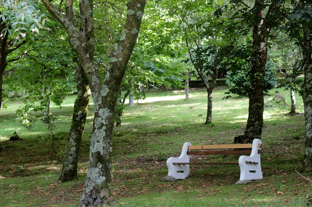
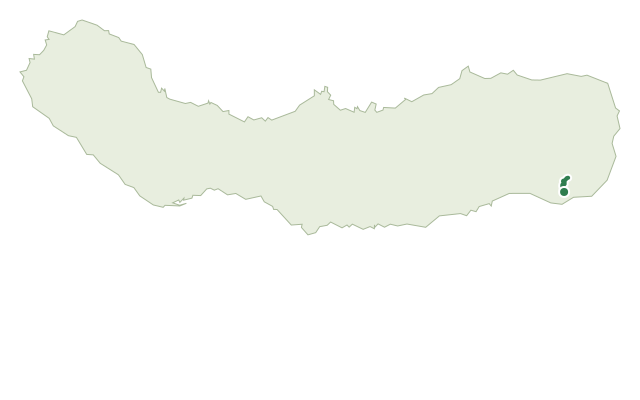
This moderate trail starts on the road between Povoação and Água Retorta, near a picnic area just before the Recreational Forest Reserve of Água Retorta, and follows the Ribeira do Faial da Terra stream down toward the village. A dirt track through dense woodland of Japanese cedar and Australian cheesewood leads past an old, abandoned watermill, crossing several wooden bridges over the small creeks that feed the main stream.
A detour reaches Salto do Cagarrão, a waterfall worth the short climb, before the main route continues to a second detour toward Salto do Prego, where it's possible to explore the waterfall's base and climb to the stream above. Lower down, the stream passes family orchards; please don't pick the fruit or vegetables growing alongside the path.
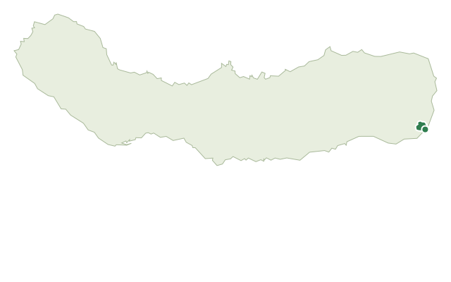
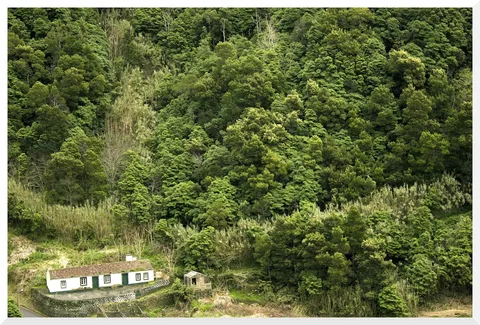
The trail ends in the village of Faial da Terra, known locally as the island's nativity scene for its picturesque setting. At about 6 km and 2 hours, with close to 400 m of climbing and over 700 m of descent spread across the detours, this is a steady streamside walk rather than a flat one.
Elevation · from the official GPX
Up and down the trail
Plan your walk · MET Norway & IPMA
When to go
Pick a start time. We forecast where you'll be each hour — 31 m at the lowest point, 374 m at the top.
Official facts, our words
What to know
Trail facts
Difficulty Moderate- Length
- 6 km
- Duration
- 2 hr
- Elevation gain
- 392 m
- Route
- Linear
- Highest point
- 374 m
- Steepest descent
- 37% at km 4.5
- Start
- Picnic area, road to Água Retorta
- Finish
- Faial da Terra
- Permit
- Not required
- Trail code
- PR11SMI
Route and facts © Azores trails network (visitazores.com)