Trails · Moderate
Água Retorta
A village loop above Água Retorta's coast, taking in a windmill ruin, a hidden waterfall and views as far as Santa Maria on a clear day.
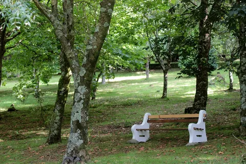
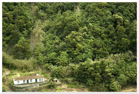
The walk starts at the church of Nossa Senhora da Penha de França, built in the 1870s and 80s around the bell tower of an older 17th-century chapel, in the village of Água Retorta. A dirt track through pasture and a small cheesewood wood climbs just high enough for views over the village centre, Pico Bartolomeu and Pico da Vara, with the island of Santa Maria visible on a clear day.
Past the hamlet of Fagundas, the route drops through cheesewood and fayatree woodland along the slope above the sea, with a short detour down to the base of a waterfall. Beyond the stream, trees give way to pasture and fields edged with traditional boxwood hedges before the path enters Água Retorta itself, home to around 500 people.
In the village, the ruins of an old corn mill sit near the centre, and the final stretch passes a fountain on its way back past the church where the walk began. It's a medium loop of 5.1 km and about 2 hours, with a solid climb back up from the coast to close the circuit.
Elevation · from the official GPX
Up and down the trail
Plan your walk · MET Norway & IPMA
When to go
Pick a start time. We forecast where you'll be each hour — 8 m at the lowest point, 293 m at the top.
Official facts, our words
What to know
Trail facts
Difficulty Moderate- Length
- 5.1 km
- Duration
- 2 hr
- Elevation gain
- 621 m
- Route
- Circular
- Highest point
- 293 m
- Steepest climb
- 48% at km 3.4
- Start
- Church of Nossa Senhora da Penha de França, Água Retorta
- Finish
- Church of Nossa Senhora da Penha de França, Água Retorta
- Permit
- Not required
- Trail code
- PRC13SMI
Route and facts © Azores trails network (visitazores.com)