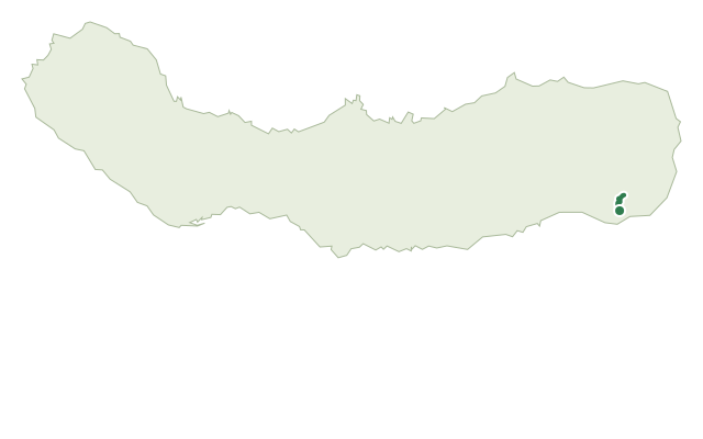
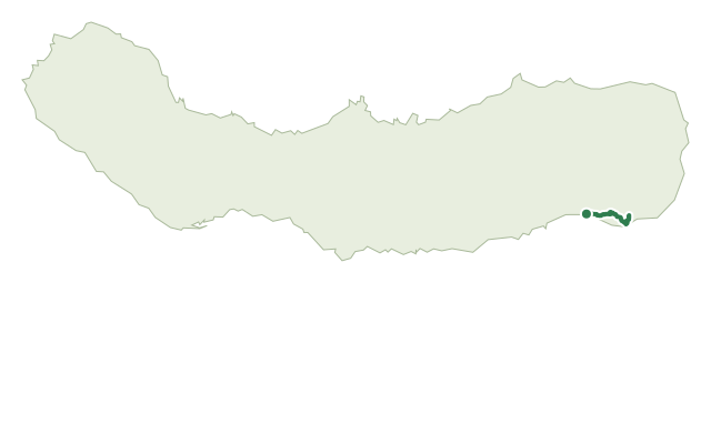
Trails · Moderate
Quatro Caminhos do Faial da Terra
A long loop above Faial da Terra to the viewpoint of Pico dos Bodes, with an old whale-watching tower and a steep cobbled finish.
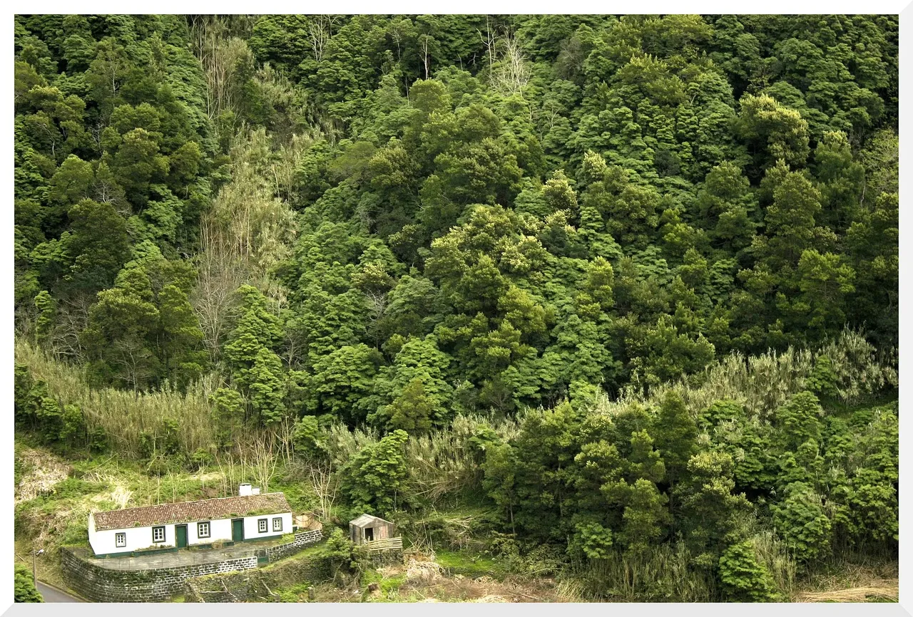
The walk begins in the centre of Faial da Terra and follows tracks through farmland, crossing the regional road several times and passing an old whale-watching tower once used to spot cetaceans offshore. A dirt road flanked by boxwood hedges climbs to a junction with the trail to Vigia das Baleias, where a detour leads up to Pico dos Bodes, landscaped in 2007 into a viewpoint over Faial da Terra and all the way to Vila Franca do Campo.
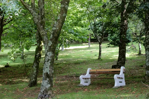
Back at the junction, the route descends through woodland of cheesewood, Japanese cedar and pasture, with views over Faial da Terra and the coastal platform of Fajã do Calhau. Near the end there's an optional detour to Aldeia do Sanguinho, a hamlet being restored house by house and named for the buckthorn (Frangula azorica) that grows around it.
The final stretch drops down a steep, winding cobbled road to a stream and the trailhead panel. It's a medium 7.4 km loop of about 3 hours, with roughly 660 m of climbing split between the ascent to Pico dos Bodes and the return leg.
Elevation · from the official GPX
Up and down the trail
Plan your walk · MET Norway & IPMA
When to go
Pick a start time. We forecast where you'll be each hour — 19 m at the lowest point, 478 m at the top.
Official facts, our words
What to know
Trail facts
Difficulty Moderate- Length
- 7.4 km
- Duration
- 3 hr
- Elevation gain
- 659 m
- Route
- Circular
- Highest point
- 478 m
- Steepest descent
- 38% at km 6.4
- Start
- Faial da Terra village centre
- Finish
- Faial da Terra village centre
- Permit
- Not required
- Trail code
- PRC40SMI
Route and facts © Azores trails network (visitazores.com)