Trails · Moderate
Vigia da Baleia
A linear walk between Povoação and Faial da Terra, past an old whale-lookout tower, linking two striking geosites.
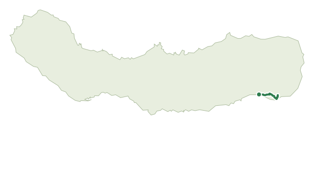
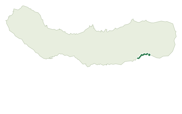
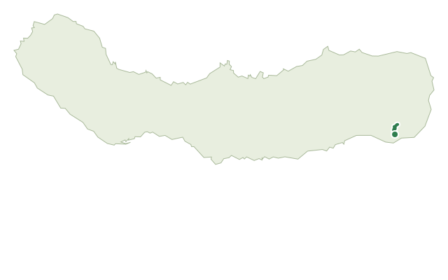
This moderate trail connects the town of Povoação to the village of Faial da Terra, linking the Caldeira de Povoação geosite with the stream valley of Faial da Terra and Fajã do Calhau. It climbs the road toward Lomba dos Pós before dropping onto a dirt track that once connected the two villages directly, still lined in places by old stone footpaths.
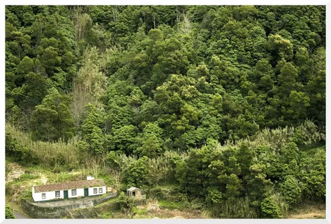
The route crosses woodland of Australian cheesewood and Japanese cedar, with a detour to Pico dos Bodes, a requalified viewpoint since 2007 looking from Faial da Terra across to Vila Franca do Campo. Lower down, traditional boxwood hedges border the pastures and fields on the way into the village.
Near the end, a dirt track leads to an old whale-watching tower once used to spot cetaceans offshore, which gives the trail its name, before the descent into the centre of Faial da Terra with a view over Fajã do Calhau. At about 7 km and 3 hours, with around 585 m of climbing along the way, it's a steady day out between farmland, woodland and two connected villages.
Elevation · from the official GPX
Up and down the trail
Plan your walk · MET Norway & IPMA
When to go
Pick a start time. We forecast where you'll be each hour — 7 m at the lowest point, 481 m at the top.
Official facts, our words
What to know
Trail facts
Difficulty Moderate- Length
- 7 km
- Duration
- 3 hr
- Elevation gain
- 585 m
- Route
- Linear
- Highest point
- 481 m
- Steepest descent
- 40% at km 6.2
- Start
- Povoação
- Finish
- Faial da Terra
- Permit
- Not required
- Trail code
- PR18SMI
Route and facts © Azores trails network (visitazores.com)