Trails · Moderate
Algar do Carvão - Furnas do Enxofre
A high plateau loop linking two volcanic monuments, a deactivated geothermal borehole and a steaming fumarole field, with island views on a clear day.
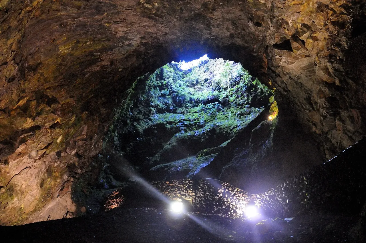
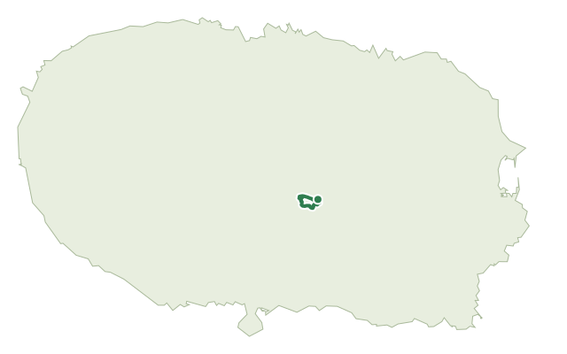
This loop crosses a public section of a protected habitat area on Terceira's central plateau, where landscape recovery work is ongoing, and connects two Natural Monuments: Algar do Carvão and Furnas do Enxofre.
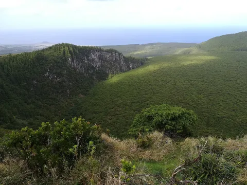
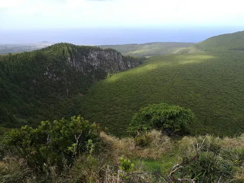
From the car park at Algar do Carvão, a lapilli path leads to old forest tracks past hills of native forest, climbing to a deactivated geothermal borehole and then crossing the plateau through a patch of Laurissilva forest with views to Pico da Salsa, Pico Tamujo and the Sanguinhal bogs. After passing the Pico Alto geothermal power station the route turns south through native meadows; an optional 600 m detour leads to the Furnas do Enxofre fumarole field before the path climbs a hilltop with panoramic views to Pico do Alpanaque and Caldeira do Guilherme Moniz, and on clear days as far as the Serra de Santa Bárbara massif and the islands of São Jorge and Pico. The route then drops back through native vegetation to the Algar do Carvão car park.
It's a medium route of about 6.2 km in roughly two and a half hours, climbing around 220 m across a plateau that sits between 530 and 630 m.
Elevation · from the official GPX
Up and down the trail
Plan your walk · MET Norway & IPMA
When to go
Pick a start time. We forecast where you'll be each hour — 530 m at the lowest point, 632 m at the top.
Official facts, our words
What to know
Trail facts
Difficulty Moderate- Length
- 6.2 km
- Duration
- 2 hr 30 min
- Elevation gain
- 218 m
- Route
- Circular
- Highest point
- 632 m
- Steepest descent
- 17% at km 5.6
- Start
- Algar do Carvão
- Finish
- Algar do Carvão
- Permit
- Not required
- Trail code
- PRC10TER
Route and facts © Azores trails network (visitazores.com)