Trails · Moderate
Passagem das Bestas
A loop into Guilherme Moniz crater following centuries-old oxcart tracks worn into the rock, with views over the Azores' widest collapsed caldera.
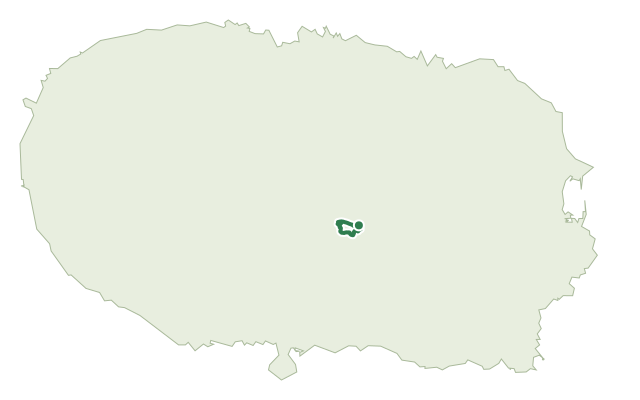
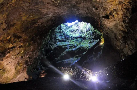
This loop sits entirely within the geosite and protected area of Caldeira de Guilherme Moniz, a volcanic complex around 23,000 years old whose laurel woods and peatlands feed Angra's aquifers. It starts near the parking area and crosses a rocky old lava field before meeting the trail's namesake path.
At the first fork the path picks up the old oxcart tracks of Passagem das Bestas, grooves worn into the rock by centuries of ox-carts hauling wood out of the crater, and follows them down alongside a stream to a pipe feeding Angra's mini-hydro plants. From a wood of Japanese cedar and a viewpoint, the path crosses a pasture with a view left to the collapsed crater of the Cinco Picos volcano, around 7 km across and one of the largest in the Azores, then climbs through forest to its highest point on the hill of Morião before descending past viewpoints over Terra Brava and into Caldeira do Guilherme Moniz, down the old access ravine and back to the oxcart tracks and the parking area.
It's a medium route of only about 4 km in roughly two and a half hours, but it climbs and drops around 240 m on old lava and worn rock rather than open ground.
Elevation · from the official GPX
Up and down the trail
Plan your walk · MET Norway & IPMA
When to go
Pick a start time. We forecast where you'll be each hour — 426 m at the lowest point, 551 m at the top.
Official facts, our words
What to know
Trail facts
Difficulty Moderate- Length
- 4 km
- Duration
- 2 hr 30 min
- Elevation gain
- 240 m
- Route
- Circular
- Highest point
- 551 m
- Steepest climb
- 35% at km 0.6
- Start
- Caldeira de Guilherme Moniz
- Finish
- Caldeira de Guilherme Moniz
- Permit
- Not required
- Trail code
- PRC07TER
Route and facts © Azores trails network (visitazores.com)