Trails · Moderate
Pedra Furada da Serra da Ribeirinha
A rural loop past centuries-old fountains and strangely marked rocks on the slope of the Cinco Picos volcano, overlooking Angra's bay.
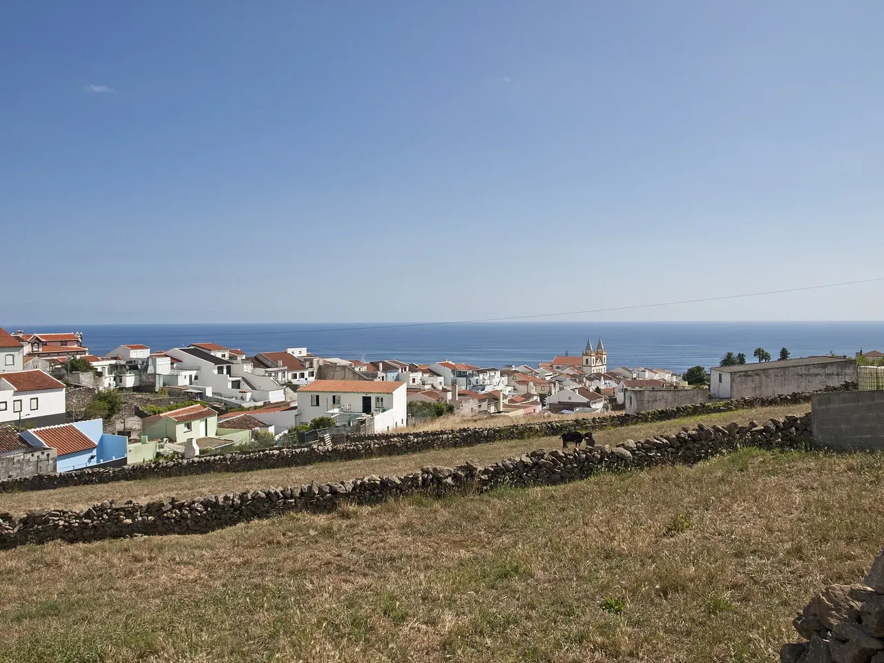
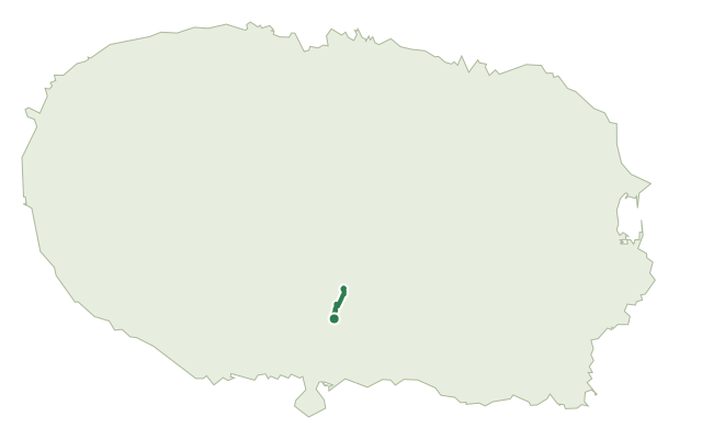
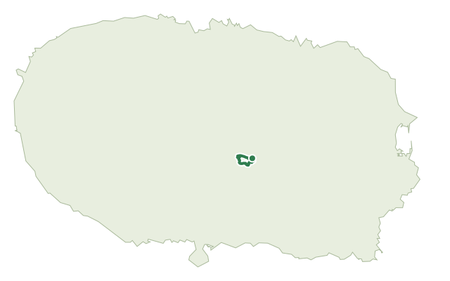
This loop starts next to the Ribeirinha Ethnographic Centre, which preserves the customs and traditions of the parish, and climbs mostly along the Serra da Ribeirinha, the southwestern slope of the Cinco Picos volcano and its caldera, the largest in the Azores.
The route passes through Ribeirinha's scattered houses, laid out along the waterline perpendicular to the coast, with historic fountains such as A Fonte and Poça do Adão. The mostly agricultural landscape opens onto views over the bay of Angra do Heroísmo and the south coast, and on to three of the island's four main volcanic complexes: Serra de Santa Bárbara, Guilherme Moniz and Cinco Picos. Along the way, seven marked groups of rock formations show unusual shapes and features known as Pias and cut marks, of uncertain origin, as well as an old World War II lookout post and several viewpoints.
It's a medium route of about 6.6 km and two and a half hours, with a climb of roughly 450 m.
Elevation · from the official GPX
Up and down the trail
Plan your walk · MET Norway & IPMA
When to go
Pick a start time. We forecast where you'll be each hour — 195 m at the lowest point, 417 m at the top.
Official facts, our words
What to know
Trail facts
Difficulty Moderate- Length
- 6.6 km
- Duration
- 2 hr 30 min
- Elevation gain
- 451 m
- Route
- Circular
- Highest point
- 417 m
- Steepest climb
- 23% at km 1.8
- Start
- Centro Etnográfico da Ribeirinha
- Finish
- Centro Etnográfico da Ribeirinha
- Permit
- Not required
- Trail code
- PRC11TER
Route and facts © Azores trails network (visitazores.com)