Trails · Moderate
Monte Brasil
A loop around an extinct volcanic cone right at the edge of Angra do Heroísmo, past a 16th-century fortress and wartime lookouts.
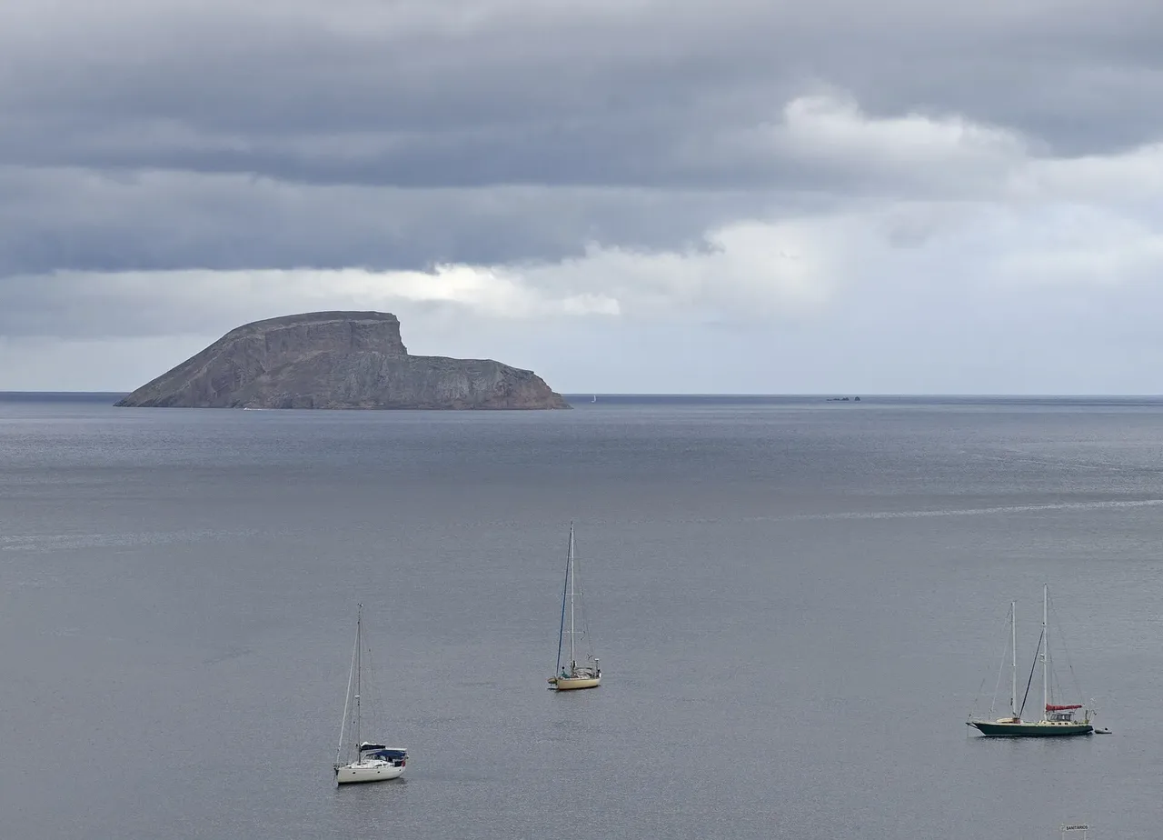
This circuit climbs around Monte Brasil, an extinct volcano that rose from the sea and later joined the city of Angra do Heroísmo, part of the UNESCO World Heritage site. It starts near the park of Relvão and heads up toward the Fortress of São João Baptista, one of the largest fortresses the Spanish Empire ever built.
Past the fortress arcade and the 1615 chapel of Santo António, the route opens onto views over Angra's bay before climbing to a picnic area near Pico do Facho and its signal station. It then circles the caldera rim, past the ruined Forte da Quebrada, to a whale-watching lookout and an old World War II station, and on to Pico das Cruzinhas, where an anti-aircraft position and the monument to the island's fifth centenary of settlement sit among nesting birds, before dropping back past the fortress to Relvão.
It's a medium route of about 7.5 km and two and a half hours, with roughly 530 m of climbing spread over the whole loop around the cone.
Elevation · from the official GPX
Up and down the trail
Plan your walk · MET Norway & IPMA
When to go
Pick a start time. We forecast where you'll be each hour — 28 m at the lowest point, 203 m at the top.
Official facts, our words
What to know
Trail facts
Difficulty Moderate- Length
- 7.5 km
- Duration
- 2 hr 30 min
- Elevation gain
- 514 m
- Route
- Circular
- Highest point
- 203 m
- Steepest climb
- 45% at km 4.9
- Start
- Parque do Relvão
- Finish
- Parque do Relvão
- Permit
- Not required
- Trail code
- PRC04TER
Route and facts © Azores trails network (visitazores.com)