Trails · Moderate
Areia Branca
A long crossing of Santa Maria linking its two limestone-sand beaches, by way of the island's highest point.
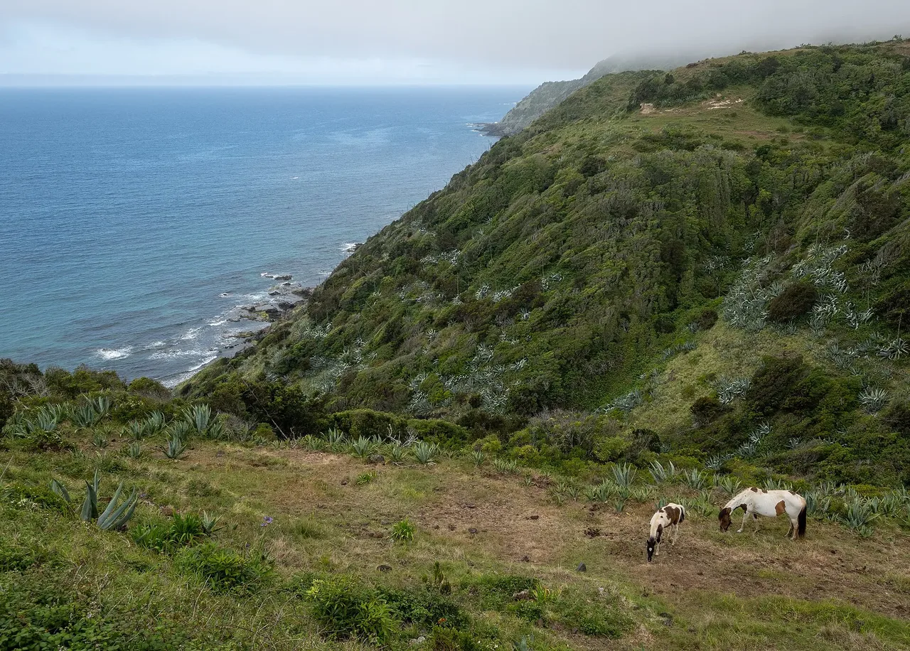
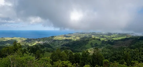
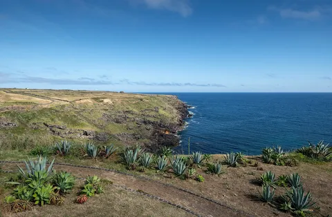
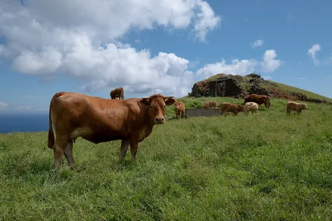
This route links Praia Formosa on the south coast to Baía de São Lourenço in the northeast, connecting the region's two unusual white, limestone-sand beaches. It starts near the Praia Formosa park by the ruins of the Fortress of São João Baptista, known locally as Castelo da Praia, then moves inland past houses and pastures toward Pico Alto, with waymarking colours changing where the Grand and Small Route networks overlap.
Near Almagreira the path enters woodland of Australian cheesewood, white wood and Azorean holly before passing a cave on the way up to Pico Alto, Santa Maria's highest point and a junction with PRC02 SMA, where a rest and the island-wide view are well earned. From there a dirt road continues through woods and fields past the centre of Santa Bárbara, meeting PRC03 SMA, before the trail begins its final descent.
At 11.7 km and about 4 h 30, with roughly 770 m of both climb and descent, this is a genuinely long day. It finishes at Baía de São Lourenço, a natural amphitheatre ringed by terraced vineyards, where the beach and natural swimming pools make a fitting reward if the sea cooperates.
Elevation · from the official GPX
Up and down the trail
Plan your walk · MET Norway & IPMA
When to go
Pick a start time. We forecast where you'll be each hour — 2 m at the lowest point, 566 m at the top.
Official facts, our words
What to know
Trail facts
Difficulty Moderate- Length
- 11.7 km
- Duration
- 4 hr 30 min
- Elevation gain
- 769 m
- Route
- Linear
- Highest point
- 566 m
- Steepest descent
- 46% at km 10.8
- Start
- Praia Formosa
- Finish
- Baía de São Lourenço
- Permit
- Not required
- Trail code
- PR06SMA
Route and facts © Azores trails network (visitazores.com)