Trails · Moderate
Costa Sul
A south-coast walk from Vila do Porto to Praia Formosa's yellow sand, past fossil cliffs and a vertigo-inducing shoreline.
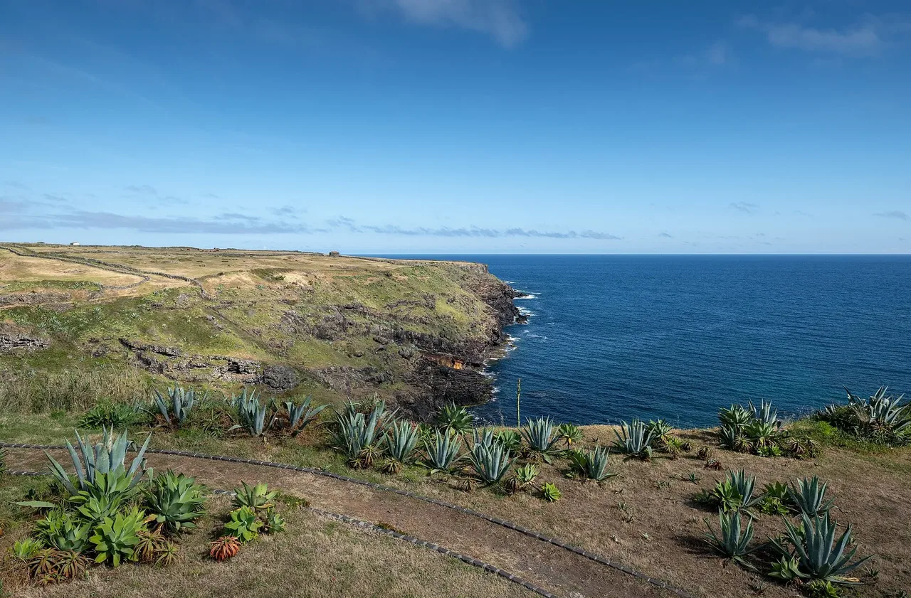
The route starts at the 17th-century Fortress of São Brás, overlooking the Calhau da Roupa bay and the island's commercial harbour, then follows a dirt road to the São Francisco stream, a good spot for migratory birds such as the grey heron, little egret, Eurasian coot and Eurasian curlew, especially in autumn and winter. It continues to Pedreira do Campo, a Natural Monument geosite where marine fossils record part of the island's geological history, and passes the artificial Figueiral cave, once quarried for clay and limestone used in the island's traditional roof tiles and lime.
Climbing toward Touril, you may spot buzzards, rock doves, the endemic Santa Maria goldcrest and European rabbits before a wooded dirt road drops to Prainha, where an alternative path is used in stormy weather. From Prainha the coastal path continues carefully, aided by a steel cable at one exposed stretch, past the ruins of the Fortress of São João Baptista and a junction with the GR01 SMA toward Cardal.
At around 8 km and about 3 hours, with roughly 1,090 m of climbing and 980 m of descent, this is a solidly moderate coastal walk. It ends at the Praia Formosa car park, a beach unique in the Azores for its pale limestone sand, from where PR06 SMA continues on to Areia Branca.
Elevation · from the official GPX
Up and down the trail
Plan your walk · MET Norway & IPMA
When to go
Pick a start time. We forecast where you'll be each hour — 0 m at the lowest point, 231 m at the top.
Official facts, our words
What to know
Trail facts
Difficulty Moderate- Length
- 8 km
- Duration
- 3 hr
- Elevation gain
- 1,089 m
- Route
- Linear
- Highest point
- 231 m
- Steepest descent
- 38% at km 5.1
- Start
- Vila do Porto
- Finish
- Praia Formosa
- Permit
- Not required
- Trail code
- PR05SMA
Route and facts © Azores trails network (visitazores.com)