Trails · Moderate
Costa Norte
A north-coast walk from Bananeiras to Anjos past old watermills, red-clay cliffs and a whale-watching tower.
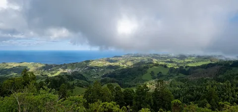
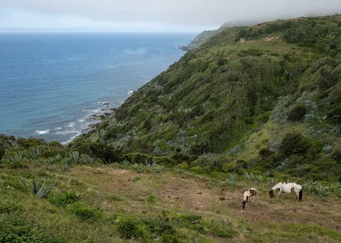
The trail leaves Bananeiras for the Baía do Raposo, a geosite still used by local fishermen, where two old watermills, the stream that once powered them and the ruins of a vineyard mill mark the start of the climb inland. Native White Wood, fire tree and the shrub Pericallis malvifolia grow alongside introduced Australian cheesewood, giant reed and agave, and buzzards, blackbirds, chaffinches, the endemic Santa Maria goldcrest, Atlantic canaries and European robins are regularly seen or heard.
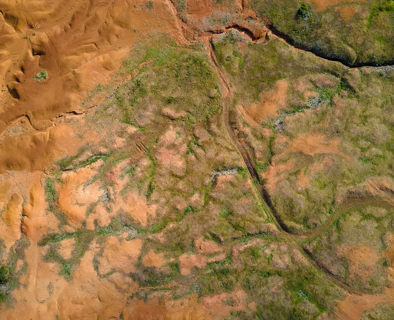
Heading west through dense forest, the path reaches another geosite, Barreiro da Faneca, where red clay marks the island's last phase of volcanic activity. A dry, open stretch that follows offers detours to the viewpoints of Ponta do Pinheiro and Baía da Cré before the trail climbs Monte Gordo, site of an old whale-watching tower, then drops toward Ponta dos Frades and follows the Ribeira dos Lemos stream into Anjos.
At 8.4 km and about 4 hours, with roughly 410 m of climb and nearly 600 m of descent, this is a moderate day with a clear overall downhill trend. Anjos itself is tied to the earliest history of the Azores, with a small chapel thought to be among the first Christian sites in the archipelago and a statue of the sailor Christopher Columbus at its centre; from here you can continue on the GR01 SMA toward Vila do Porto.
Elevation · from the official GPX
Up and down the trail
Plan your walk · MET Norway & IPMA
When to go
Pick a start time. We forecast where you'll be each hour — 4 m at the lowest point, 216 m at the top.
Official facts, our words
What to know
Trail facts
Difficulty Moderate- Length
- 8.4 km
- Duration
- 4 hr
- Elevation gain
- 411 m
- Route
- Linear
- Highest point
- 216 m
- Steepest descent
- 36% at km 1.3
- Start
- Bananeiras
- Finish
- Anjos
- Permit
- Not required
- Trail code
- PR01SMA
Route and facts © Azores trails network (visitazores.com)