Trails · Moderate
Entre a Serra e o Mar
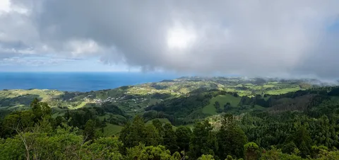
A varied loop from Santa Bárbara through valley and coast, taking in a quarry, a north-facing chapel and a bay of terraced vineyards.
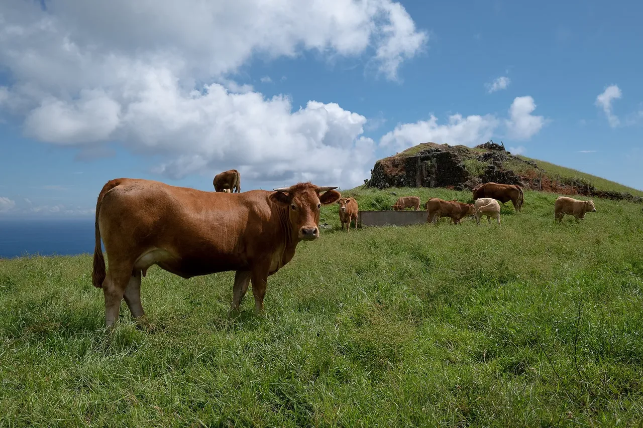
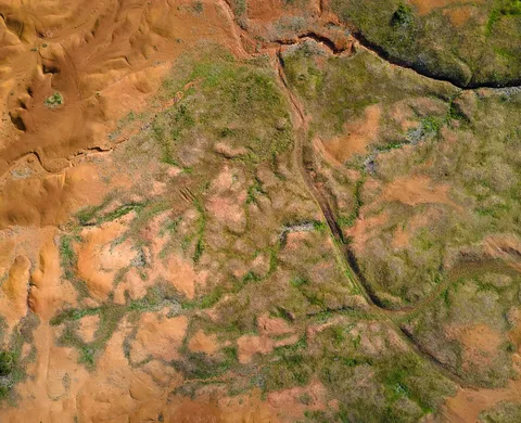
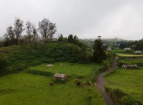
The loop leaves the church of Santa Bárbara heading west along a lane bordered by pastures, climbing to Covão da Mula, a former clay-extraction site with a view back over the village. From there the path drops through the valley of Lagos, where the change in slope brings a noticeable shift in the plants and birds along the way, before crossing the Ribeira do Amaro stream.
Climbing north from the stream opens views over Tagarete Bay and the islet of Lagoinhas, and the route passes the Chapel of Nossa Senhora de Lourdes, unusual in the archipelago for having its doorway facing north. A detour from the dirt road that follows leads to a viewpoint over the Baía de São Lourenço, a protected natural amphitheatre ringed by terraced vineyards with a beach and natural swimming pools below.
The main road then runs south, parallel to the bay, to Poço da Pedreira, a geosite and former quarry that supplied stone for Santa Maria's traditional houses, before the trail descends past the ruins of two windmills and down the Canada dos Atoleiros lane back into Santa Bárbara, where its rural houses, bright colours and distinctive chimneys mark the end of the 9.3 km, roughly 2 h 30 loop.
Elevation · from the official GPX
Up and down the trail
Plan your walk · MET Norway & IPMA
When to go
Pick a start time. We forecast where you'll be each hour — 155 m at the lowest point, 321 m at the top.
Official facts, our words
What to know
Trail facts
Difficulty Moderate- Length
- 9.3 km
- Duration
- 2 hr 30 min
- Elevation gain
- 299 m
- Route
- Circular
- Highest point
- 321 m
- Steepest descent
- 20% at km 6.3
- Start
- Santa Bárbara
- Finish
- Santa Bárbara
- Permit
- Not required
- Trail code
- PRC03SMA
Route and facts © Azores trails network (visitazores.com)