Trails · Moderate
Pico Alto
A forest loop to the highest point on Santa Maria, with island-wide views and a sobering memorial on the way back.
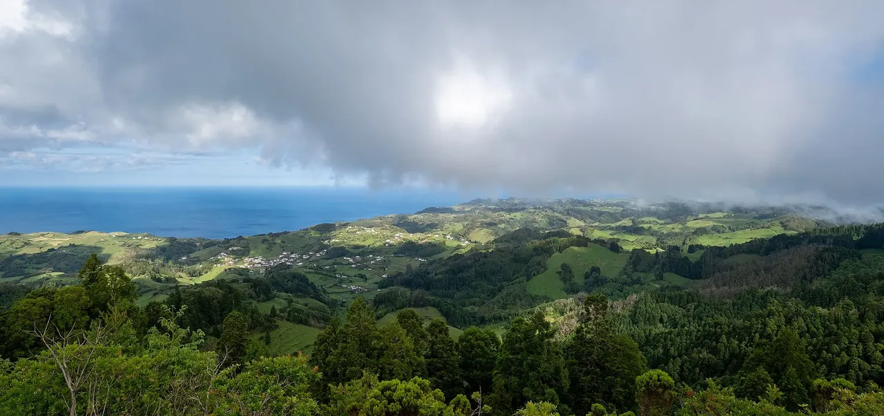
The loop starts at the Pico Alto car park and climbs a stairway past a military building to the summit, Santa Maria's highest point, where the view stretches over most of the island. From there it drops back to the car park before following a dirt lane into forest on the north side, where introduced Japanese cedar grows alongside native shrubs such as Viburnum treleasei and Azores blueberry.
The descent passes a viewpoint over the caldera to one side and the island's west coast on the other, before rejoining the main road near an old guardhouse where the trail meets the GR01 SMA. From there the route heads south toward the village of Alto Nascente, then climbs back to the start along a path once used by workers maintaining the protected area.
At 6.2 km and about 2 hours, with roughly 350 m of both climb and descent, this is a moderate half-day loop. Near the end, it passes a monument to the victims of the worst plane crash in Portugal's history, which happened here in 1989, a quiet reminder before you return to the car park.
Elevation · from the official GPX
Up and down the trail
Plan your walk · MET Norway & IPMA
When to go
Pick a start time. We forecast where you'll be each hour — 336 m at the lowest point, 574 m at the top.
Official facts, our words
What to know
Trail facts
Difficulty Moderate- Length
- 6.2 km
- Duration
- 2 hr
- Elevation gain
- 352 m
- Route
- Circular
- Highest point
- 574 m
- Steepest climb
- 19% at km 4.8
- Start
- Pico Alto
- Finish
- Pico Alto
- Permit
- Not required
- Trail code
- PRC02SMA
Route and facts © Azores trails network (visitazores.com)