Trails · Easy
Santo Espírito - Maia
A short, easy walk to one of the tallest waterfalls in the country, descending through terraced vineyards to the village of Maia.
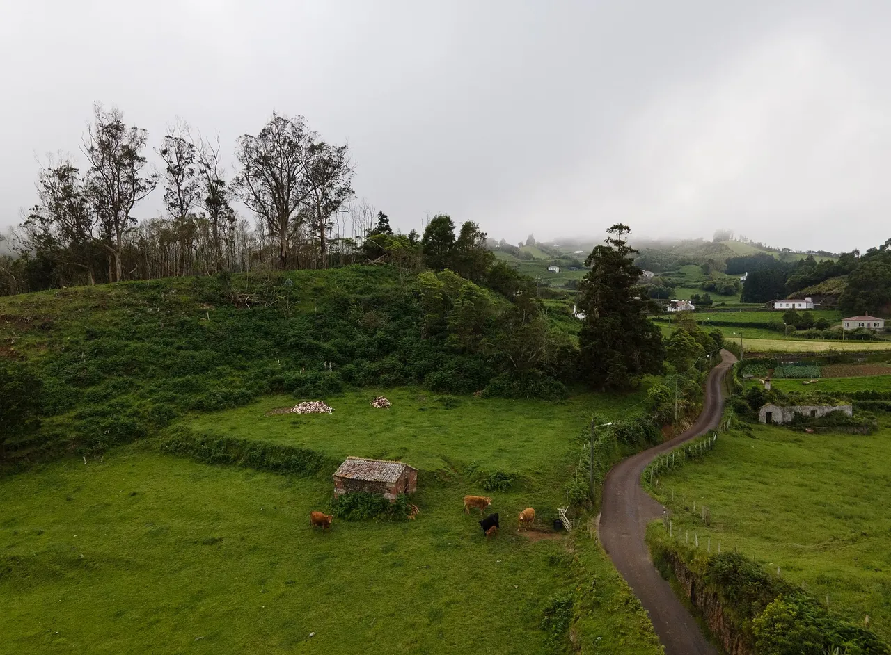
The walk starts near the church of Santo Espírito, close to the Ethnographic Museum of Santa Maria, and heads toward the sea past an old windmill before a dirt road winds through cheesewood trees, an old fountain and pastureland. At a fork, a stone alley known as Caminho da Lapa, once used for washing clothes at nearby springs, leads down toward the bank of the Ribeira Grande stream.
Following the stream to the cliff edge, you cross it carefully and are rewarded with a view back over the roughly 80 m Aveiro waterfall, one of the tallest in the country. From here the trail descends the rocky cliff face to Maia along terraced vineyards held up by dry-stone walls, farmed with the same crops for generations; in Maia, a short detour shows the waterfall from another angle alongside two wine presses built in 1579.
At just 3.9 km and about 2 hours, with around 60 m of climb against roughly 350 m of descent, this is one of the easier walks on Santa Maria, ending near the bathing area at Maia, from where the GRC01 SMA continues toward Vila do Porto.
Elevation · from the official GPX
Up and down the trail
Plan your walk · MET Norway & IPMA
When to go
Pick a start time. We forecast where you'll be each hour — 26 m at the lowest point, 326 m at the top.
Official facts, our words
What to know
Trail facts
Difficulty Easy- Length
- 3.9 km
- Duration
- 2 hr
- Elevation gain
- 58 m
- Route
- Linear
- Highest point
- 326 m
- Steepest descent
- 37% at km 3.2
- Start
- Santo Espírito
- Finish
- Maia
- Permit
- Not required
- Trail code
- PR04SMA
Route and facts © Azores trails network (visitazores.com)