Trails · Moderate
Arquitetura da Água I
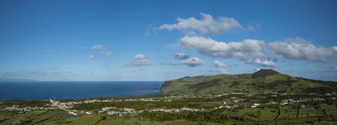
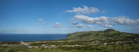
A geology-rich walk past a volcanic crater and Graciosa's old water-collecting structures to the seabird islet of Praia.
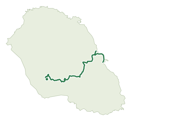
The walk starts at Pico da Caldeirinha de Pêro Botelho, circling the rim of a volcanic cone built from lava spatter, a geological formation unique enough to be listed as a geosite of the Azores UNESCO Global Geopark; a sinkhole roughly 37 m deep sits within its crater. From here the route also passes close to Pico Timão, the island's second-highest point and the vent of Graciosa's most recent eruption, less than 2,000 years ago, whose lava reached the sea at Praia.
Along the way, native and endemic plants such as Erica azorica, Calluna vulgaris and Morella faya grow beside rarer species, and the trail traces the island's historic water architecture: stone tanks, cisterns, washhouses and fountains fed by old clay pipes, built to cope with chronic water scarcity. Near the end, a tidal well once used to draw deep groundwater and the ruins of an old tile factory mark the approach to Praia.
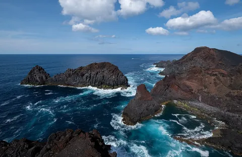
At 11.3 km and about 3 hours, with around 210 m of climbing and 560 m of descent along the way, this is a gentle walk best paced for sightseeing rather than speed. It finishes at Praia, where the offshore islet is a protected nesting site for Monteiro's storm petrel, the smallest seabird in the Azores and found nowhere else, and where you can rest and try the local Queijada da Graciosa pastry.
Elevation · from the official GPX
Up and down the trail
Plan your walk · MET Norway & IPMA
When to go
Pick a start time. We forecast where you'll be each hour — 7 m at the lowest point, 386 m at the top.
Official facts, our words
What to know
Trail facts
Difficulty Moderate- Length
- 11.3 km
- Duration
- 3 hr
- Elevation gain
- 214 m
- Route
- Linear
- Highest point
- 386 m
- Steepest descent
- 32% at km 4.0
- Start
- Pico da Caldeirinha de Pêro Botelho
- Finish
- Praia
- Permit
- Not required
- Trail code
- PR01GRA
Route and facts © Azores trails network (visitazores.com)