Trails · Moderate
Das Vinhas ao Mar
A walk through Graciosa's walled vineyard landscape to the Ponta da Barca lighthouse and a bathing cove.
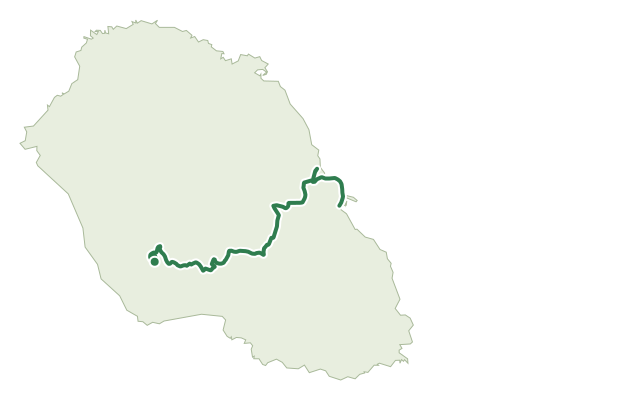
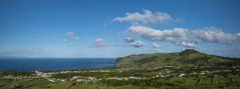
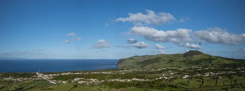
The route starts beside the old Bom Jesus primary school and a 19th-century fountain, following the Caminho do Barroso past traditional rural houses before turning onto dirt tracks that cross the wine-growing landscape of Bom Jesus and Achada. Here, countless basalt stone corrals shelter individual vines from the wind, and the ruins of old wineries and the Achada windmill recall how important this patchwork once was to the island.
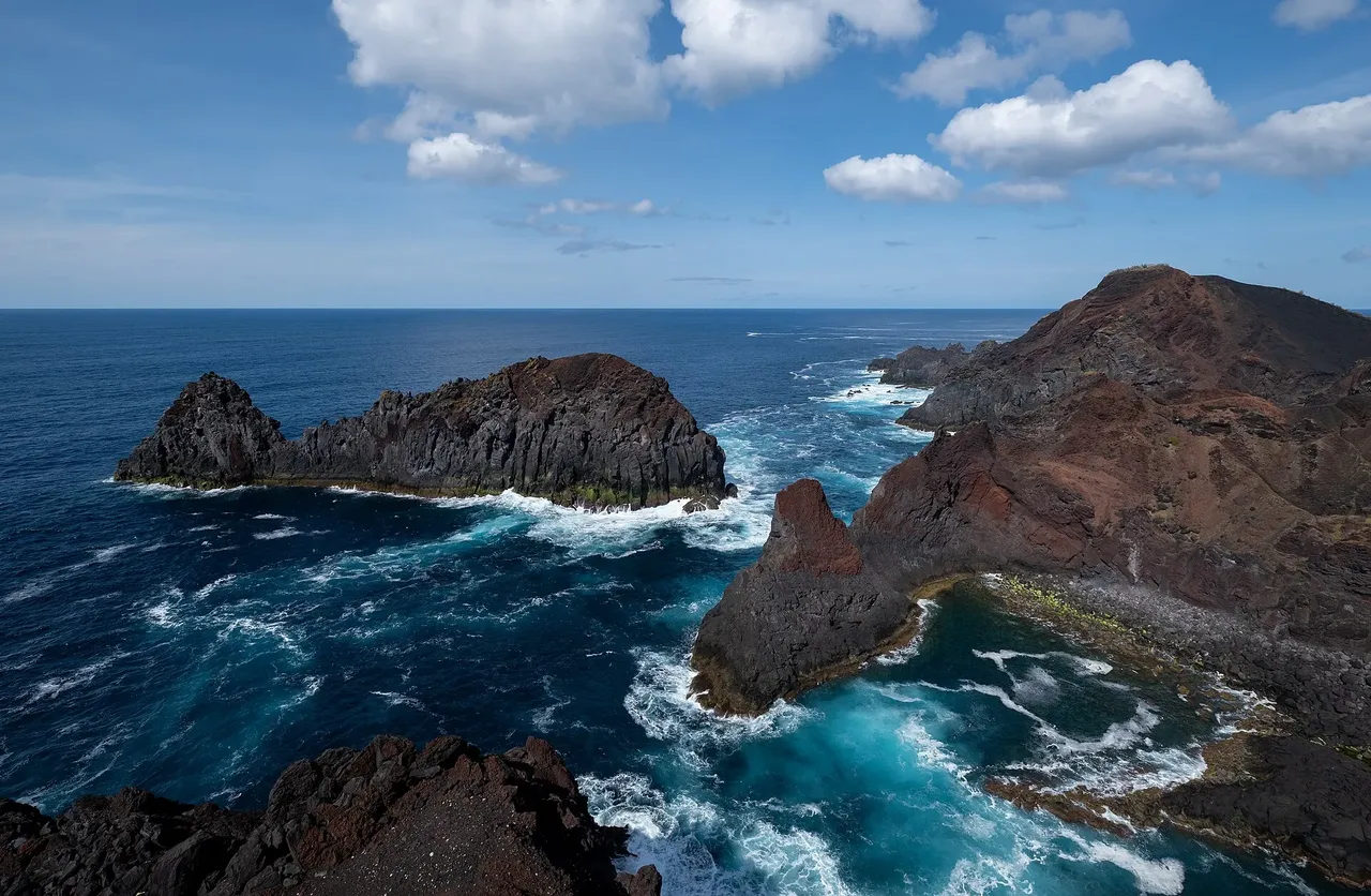
Back on tarmac, signs lead to Baía do Forno and on to the Ponta da Barca lighthouse, whose 23 m tower is the tallest in the Azores, close to the Ilhéu da Baleia, a geosite formed by the eroded chimney of an old volcanic cone. The coastal stretch that follows passes several bays and coves used by seabirds, including Monteiro's storm petrel, Cory's shearwater, Audubon's shearwater and the common tern, with a viewpoint over the striking grid of square vineyard corrals that rings the airport runway.
At 6.6 km over a mix of vineyard tracks and basaltic coastal terrain, this is a moderate walk of varied scenery, ending at the Barro Vermelho bathing area.
Elevation · from the official GPX
Up and down the trail
Plan your walk · MET Norway & IPMA
When to go
Pick a start time. We forecast where you'll be each hour — 9 m at the lowest point, 55 m at the top.
Official facts, our words
What to know
Trail facts
Difficulty Moderate- Length
- 6.6 km
- Elevation gain
- 135 m
- Route
- Linear
- Highest point
- 55 m
- Steepest descent
- 7% at km 6.0
- Start
- Bom Jesus
- Finish
- Barro Vermelho
- Permit
- Not required
- Trail code
- PR04GRA
Route and facts © Azores trails network (visitazores.com)