Trails · Easy

Baía da Folga

A short, easy walk from the village of Luz through vineyards to the quiet cove of Portinho da Folga.
GraciosaOfficial trail code PR03GRAOfficial trail status: Status unknownUpdated 18 October 2026
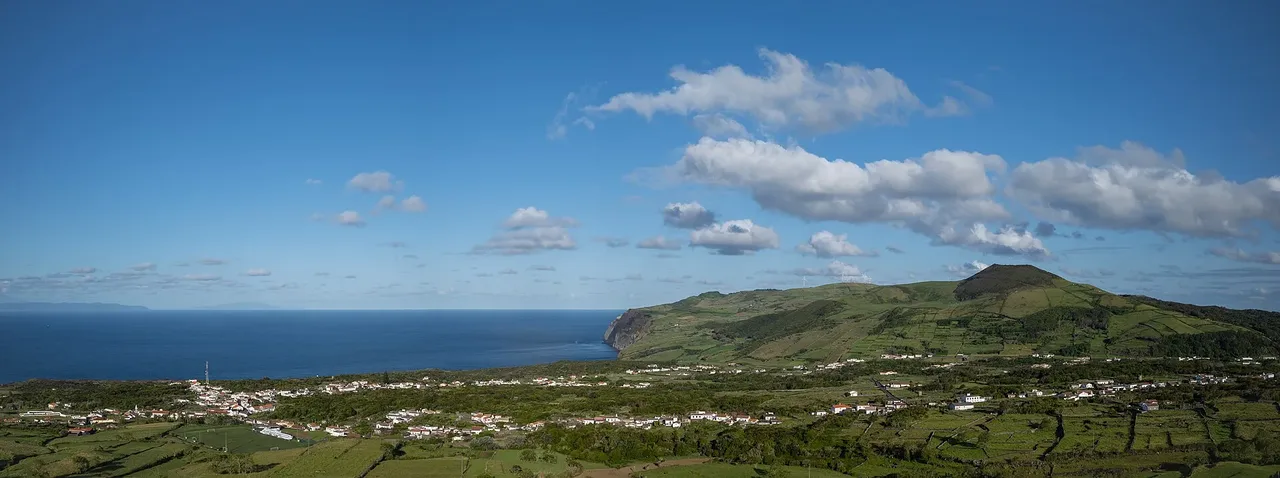
The southwestern coast of Graciosa, seen from the Caldeira rim.

Photo: Jules Verne Times Two · CC BY-SA 4.0

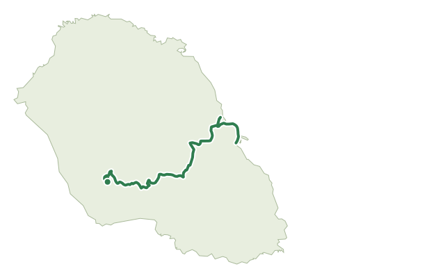
This short route leaves the centre of Luz near the local Holy Spirit chapel and follows the regional road downhill before turning onto a dirt path that cuts through vineyards on the island's south side.

Closer to the sea, the path becomes a coastal track lined with seaside goldenrod, African tamarisk and the endemic Graciosa fescue, ending at the small harbour of Portinho da Folga.

At just 2.1 km and about an hour, with a gentle 71 m of climb, this is one of the easiest walks on Graciosa, well suited to a short outing or a warm-up before a longer trail.

Elevation · from the official GPX

Up and down the trail

Hover or drag along the chart — the dot follows on the map.

gentle < 8%steady 8–15%steep > 15%+71 m up · −11 m down · 13 m → 81 m

Plan your walk · MET Norway & IPMA

When to go

Pick a start time. We forecast where you'll be each hour — 13 m at the lowest point, 81 m at the top.

Loading the forecast…

Official facts, our words

What to know

Start & finish
Luz to Portinho da Folga
Safety
The ground underfoot is mostly easy, but take care on the uneven coastal rock near Portinho da Folga, especially close to the water's edge.
When to go
This short coastal walk is comfortable in most conditions, though a calm day makes the final stretch by the sea more pleasant.

The route

TrailheadHigh point200 m
Directions

Trail facts

Difficulty Easy
Length
2.1 km
Duration
1 hr
Elevation gain
71 m
Route
Linear
Highest point
81 m
Steepest climb
8% at km 1.0
Start
Luz
Finish
Portinho da Folga
Permit
Not required
Trail code
PR03GRA

Route and facts © Azores trails network (visitazores.com)
Same island

More trails on Graciosa

  • The southwestern coast of Graciosa, seen from the Caldeira rim.

    Trails

    Subida ao Cume

    A hard climb to the rim of Graciosa's volcanic caldera, with a visitor-centre cave and the island's largest forest below.

    Graciosa

    2 min read

  • Arquitetura da Água I — route map

    Trails

    Arquitetura da Água I

    A geology-rich walk past a volcanic crater and Graciosa's old water-collecting structures to the seabird islet of Praia.

    Graciosa

    2 min read

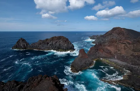
  • Ilhéu da Baleia, a rocky islet off the Graciosa coast.

    Trails

    Das Vinhas ao Mar

    A walk through Graciosa's walled vineyard landscape to the Ponta da Barca lighthouse and a bathing cove.

    Graciosa

    1 min read