Trails · Hard
Subida ao Cume
A hard climb to the rim of Graciosa's volcanic caldera, with a visitor-centre cave and the island's largest forest below.
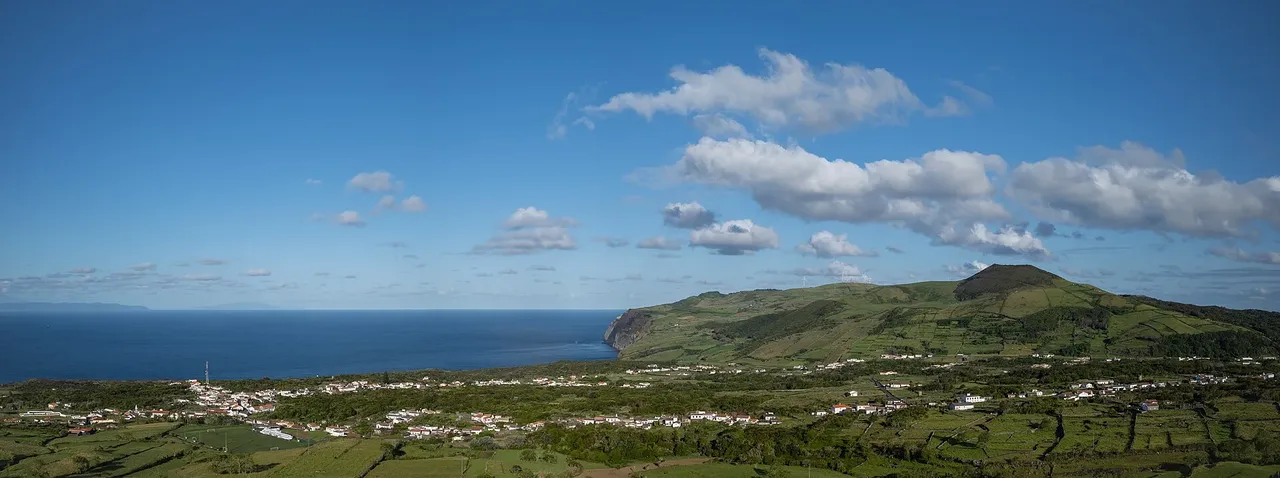
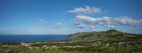
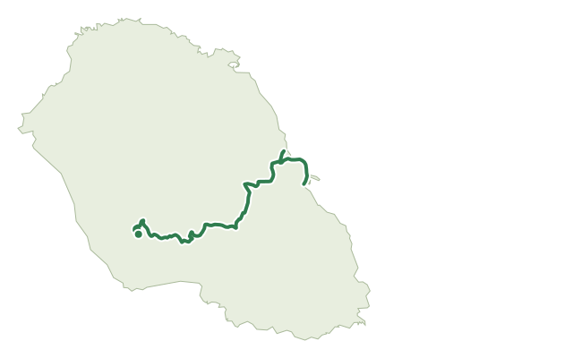
The loop begins in front of the Nossa Senhora da Luz church in the centre of Luz and climbs through Canada do Beco toward the rim of the Caldeira da Graciosa, a volcanic depression that sits atop one of the smallest stratovolcanoes in the Azores and is now a protected Natural Monument. The ridge path crosses the island's highest point, at roughly 400 m, with views over Graciosa and, weather permitting, the neighbouring islands of the central group.
Inside the caldera, two small hydromagmatic cones and a network of caves, including Furna da Maria Encantada, Furna do Abel and the show cave Furna do Enxofre with its visitor centre, mark out the volcanic richness of the site; the Enxofre cave itself runs 194 m and reaches a depth of about 40 m, with a freshwater lake and a mud fumarole inside. Introduced Japanese cedar covers most of the slopes, forming the island's largest forest, but native plants such as green heather, Azores laurel and candleberry myrtle persist in patches, and the wetland floor of the caldera, a Ramsar site of international importance, is a rare refuge for wading birds like the common snipe and the Eurasian woodcock.
At 9.7 km and about 3 h 30, with roughly 530 m of climb and descent, this is one of the harder walks on Graciosa. Because the trail runs almost entirely through a Natural Monument, Ramsar wetland, Biosphere Reserve core zone and Geopark site, staying on the marked path matters more here than on most routes.
Elevation · from the official GPX
Up and down the trail
Plan your walk · MET Norway & IPMA
When to go
Pick a start time. We forecast where you'll be each hour — 83 m at the lowest point, 399 m at the top.
Official facts, our words
What to know
Trail facts
Difficulty Hard- Length
- 9.7 km
- Duration
- 3 hr 30 min
- Elevation gain
- 529 m
- Route
- Circular
- Highest point
- 399 m
- Steepest descent
- 29% at km 2.9
- Start
- Luz
- Finish
- Luz
- Permit
- Not required
- Trail code
- PRC05GRA
Route and facts © Azores trails network (visitazores.com)