Trails · Moderate
Atalho dos Vermelhos
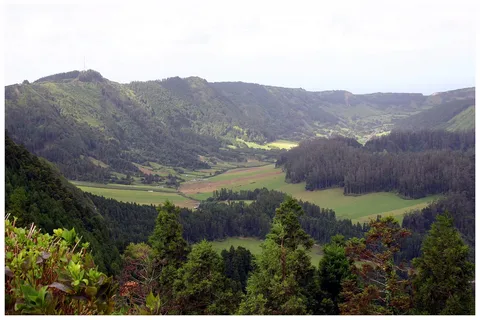
A birdwatcher's loop above the northwest coast near Bretanha, with viewpoints over Mosteiros and a good run of Azorean endemic shrubs.
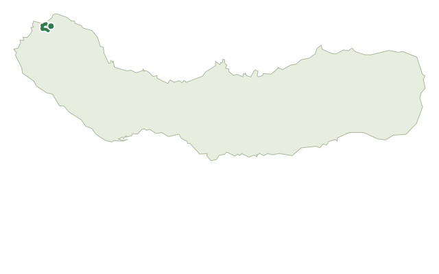
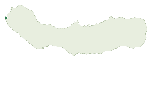
The walk leaves a resting place on the Regional Road in João Bom, part of Pilar da Bretanha, passing a minimarket, a small chapel and the street Rua da Relvinha before turning onto a dirt road through fields and grazing land toward the coast. A gate — please leave it as you found it — opens onto a viewpoint over the island's northwest coast, with a further detour through woodland to a lookout over the village of Mosteiros.
The route down passes through cover of Azorean heather, Hypericum foliosum, Euphorbia azorica and white wood (Picconia azorica); the area is an Important Bird Area, and buzzards, rock doves and chaffinches are often seen or heard here. A water-collection point makes a natural rest stop before the trail climbs back toward João Bom, skirting Pico de Mafra.
It's a medium 5.4 km loop of about 2 hours, with some 340 m of climbing on the return leg. A fountain near the last crossing marks the final stretch back to the start.
Elevation · from the official GPX
Up and down the trail
Plan your walk · MET Norway & IPMA
When to go
Pick a start time. We forecast where you'll be each hour — 69 m at the lowest point, 294 m at the top.
Official facts, our words
What to know
Trail facts
Difficulty Moderate- Length
- 5.4 km
- Duration
- 2 hr
- Elevation gain
- 338 m
- Route
- Circular
- Highest point
- 294 m
- Steepest descent
- 37% at km 1.2
- Start
- Regional Road resting place, João Bom
- Finish
- Regional Road resting place, João Bom
- Permit
- Not required
- Trail code
- PRC33SMI
Route and facts © Azores trails network (visitazores.com)