Trails · Easy
Pico das Camarinhas - Ponta da Ferraria
An easy volcanic walk past three craters and a lava cliff to a natural, wave-fed hot pool at Ponta da Ferraria.
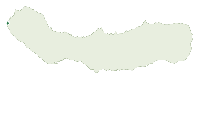
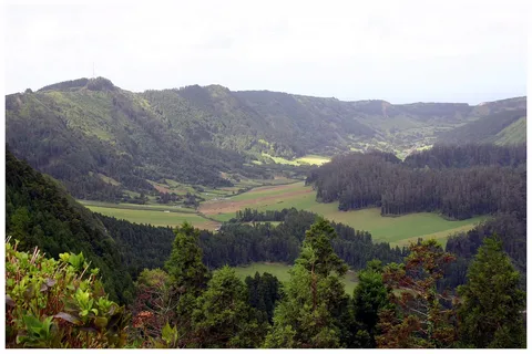
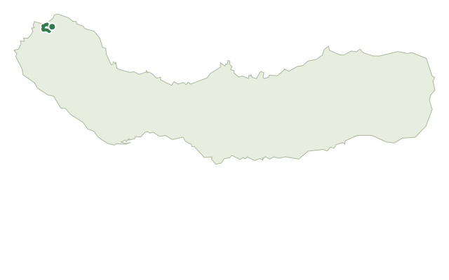
The walk starts and ends at the Ilha Sabrina viewpoint, named for a small island thrown up by an 1811 eruption just offshore and eroded away again within months. It climbs Pico das Camarinhas, a basaltic cinder cone, for views over Ponta da Ferraria, the village of Ginetes and Pico do Cavalo, and a clear look at a line of three craters formed by fissure volcanism.
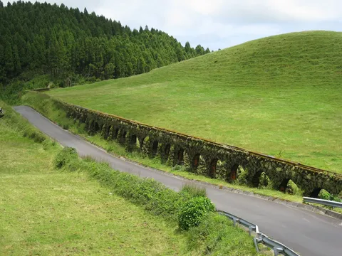
Descending around two overlapping craters to Caminho Velho and on toward the lava cliff of Ferraria, the trail passes pumice outcrops from the ancient Sete Cidades volcano, buried under ash from Pico das Camarinhas, and later rocky outcrops of ignimbrite. The path then rounds the lava cliff itself, past wave-cut recesses, arches and a rare pseudo-crater formed by a steam explosion, with basalt that holds visible xenoliths — fragments of older rock caught up in the lava.
The walk ends at the thermal swimming pool of Ponta da Ferraria, where volcanic springs warm the sea above 30°C at low tide — a highlight worth timing your visit around. It's an easy loop of 3.6 km and about 2.5 hours, with roughly 220 m of gentle climbing.
Elevation · from the official GPX
Up and down the trail
Plan your walk · MET Norway & IPMA
When to go
Pick a start time. We forecast where you'll be each hour — 2 m at the lowest point, 215 m at the top.
Official facts, our words
What to know
Trail facts
Difficulty Easy- Length
- 3.6 km
- Duration
- 2 hr 30 min
- Elevation gain
- 221 m
- Route
- Circular
- Highest point
- 215 m
- Steepest climb
- 27% at km 0.3
- Start
- Ilha Sabrina viewpoint
- Finish
- Ilha Sabrina viewpoint
- Permit
- Not required
- Trail code
- PRC43SMI
Route and facts © Azores trails network (visitazores.com)