Trails · Moderate
Mata do Canário
A ridge walk above the Sete Cidades crater from Mata do Canário to the village, past a historic aqueduct and the Lagoa Azul viewpoints.
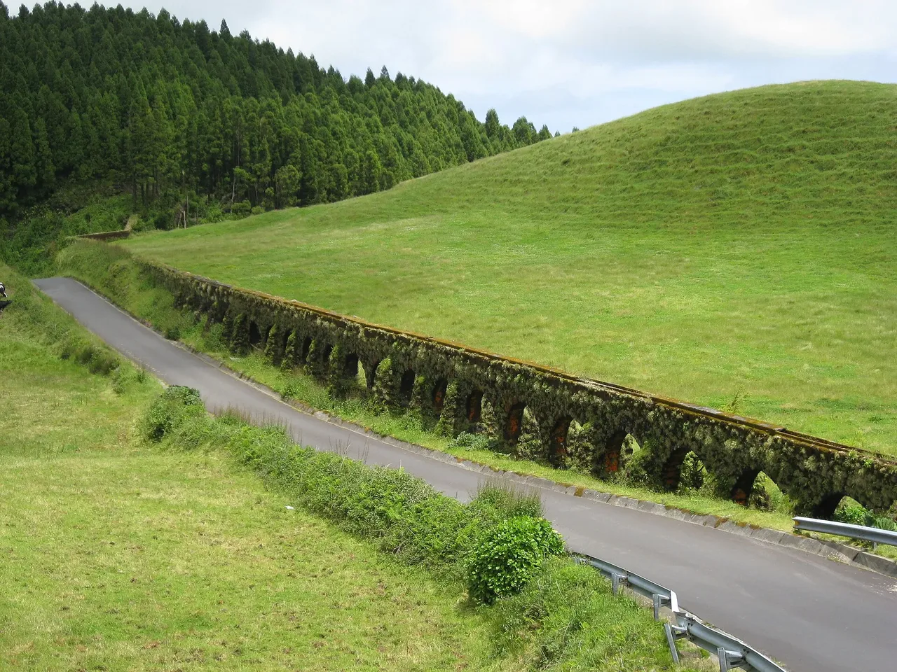
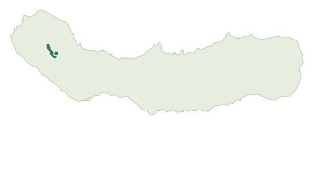
This moderate trail starts near Mata do Canário, on the east side of the Sete Cidades ridges, and descends to the village of Sete Cidades. Early on, it runs alongside the Muro das Nove Janelas, an aqueduct rebuilt in 1830 to supply Ponta Delgada, before climbing through a stand of Japanese cedar to the Pico da Cruz viewpoint over the crater lakes.
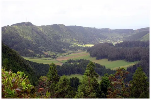
From the ridge, much of the crater's interior opens up below, with its different lakes and volcanic landforms, and the island's whole north coast beyond. The trail skirts the Blue Lake, with detours toward João Bom and Mosteiros, before meeting the PR03 SMI trail and dropping down the Estrada dos Arrebentões, a stretch that is steep and slippery underfoot.
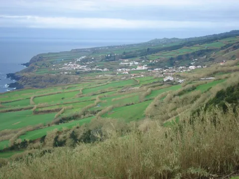
In the village, the lakeside requalification area and the Casa do Parque are both worth a look before the trail ends near the Church of São Nicolau. At about 11.7 km and 3 hours, with roughly 450 m of climbing and over 900 m of descent, this is a longer ridge walk with a sustained drop at the end.
Elevation · from the official GPX
Up and down the trail
Plan your walk · MET Norway & IPMA
When to go
Pick a start time. We forecast where you'll be each hour — 277 m at the lowest point, 860 m at the top.
Official facts, our words
What to know
Trail facts
Difficulty Moderate- Length
- 11.7 km
- Duration
- 3 hr
- Elevation gain
- 449 m
- Route
- Linear
- Highest point
- 860 m
- Steepest descent
- 29% at km 10.7
- Start
- Mata do Canário
- Finish
- Sete Cidades
- Permit
- Not required
- Trail code
- PR04SMI
Route and facts © Azores trails network (visitazores.com)