Trails · Easy
Vista do Rei
A descending walk from the Vista do Rei viewpoint through the Sete Cidades crater rim down into the village, with lake views the whole way.
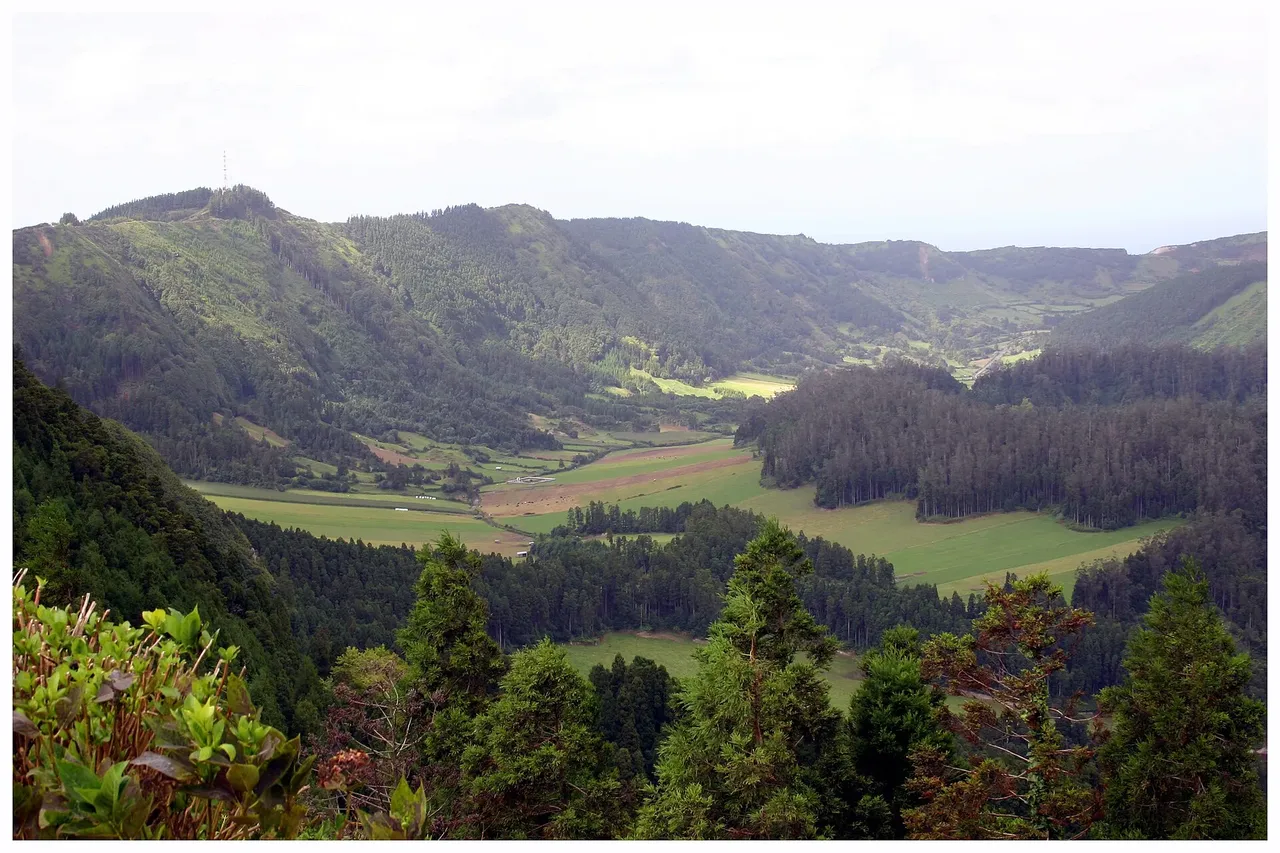
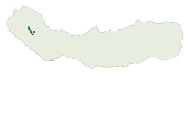
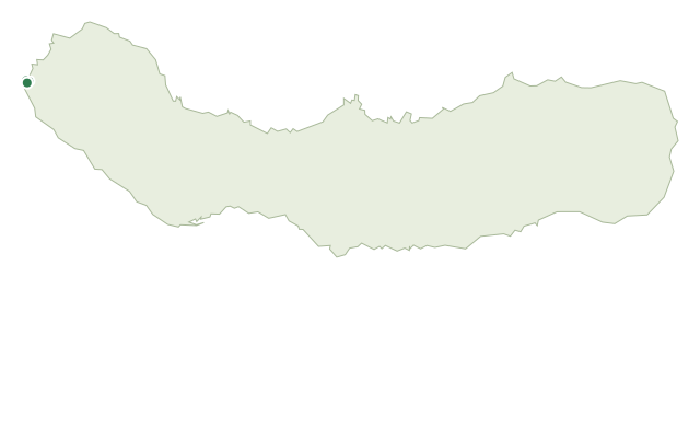
This easy, mostly downhill walk starts at the Vista do Rei viewpoint, famous for its view over the twin lakes of the Sete Cidades crater, and follows the crater's southwest slope down to the village of Sete Cidades. For most of the way, the lakes and volcanic landforms inside the crater stay in view below.
A short detour partway along leads to the Lomba do Vasco viewpoint, looking out over the west coast toward Mosteiros and its islets. Back on the main route, the trail joins the Estrada dos Arrebentões at the fork with the PR04 SMI trail; this stretch is steep and can be slippery, so take it slowly on the way down.
In the village, it's worth a stop at the lakeside requalification area and the Casa do Parque before finishing near the Church of São Nicolau. At about 7.5 km and 2 hours, with around 470 m of descent against only 170 m of climb, this is a knee-friendly downhill rather than a strenuous hike.
Elevation · from the official GPX
Up and down the trail
Plan your walk · MET Norway & IPMA
When to go
Pick a start time. We forecast where you'll be each hour — 261 m at the lowest point, 565 m at the top.
Official facts, our words
What to know
Trail facts
Difficulty Easy- Length
- 7.5 km
- Duration
- 2 hr
- Elevation gain
- 174 m
- Route
- Linear
- Highest point
- 565 m
- Steepest descent
- 25% at km 6.7
- Start
- Vista do Rei
- Finish
- Sete Cidades
- Permit
- Not required
- Trail code
- PR03SMI
Route and facts © Azores trails network (visitazores.com)