Trails · Moderate
Serra Devassa
A high-altitude circuit through São Miguel's lake-studded Serra Devassa, past a historic aqueduct, protected wetlands and the island's highest lakes.
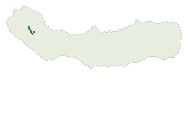
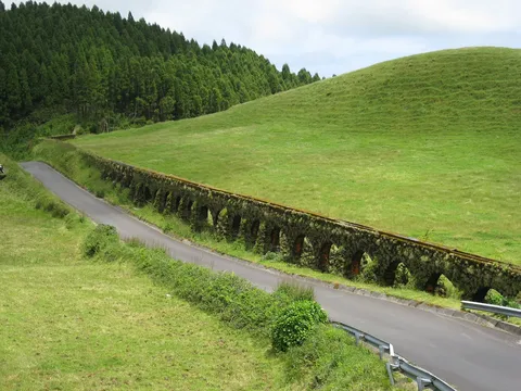
This moderate circular trail begins near the Muro do Carvão, a surviving stretch of the old Muro das Nove Janelas aqueduct that once carried water over 10 km from the Canário and Empadadas lakes to Ponta Delgada. From there it crosses a high plateau rich in lakes and wetlands, including Lagoa do Carvão, the now-waterproofed Lagoa do Caldeirão Grande, the Caldeirão Pequeno lakes and the Lagoas Empadadas.
The route climbs Pico das Éguas, at around 873 m one of the area's highest points and home to the North and South Éguas lakes, the highest-altitude lakes on São Miguel, with wide views over the surrounding landscape. Near Mata do Canário, an important area for springs and water collection, it passes Canário Lake, whose name comes from settlers from the Canary Islands who once grazed livestock here, not from birds.
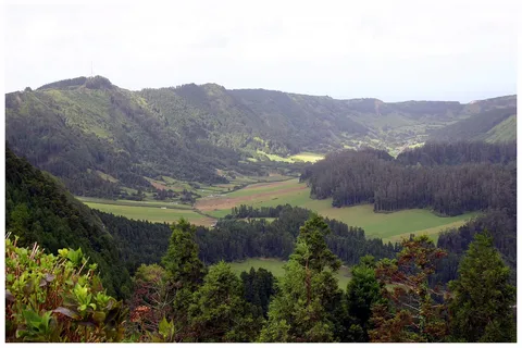
A highlight is the Miradouro da Grota do Inferno, with panoramic views into the Sete Cidades caldera and its Blue, Santiago and Rasa lakes, alongside landmarks such as Canto dos Carneiros, Caldeira do Alferes, Pico da Cruz and the deep ravine of Grota do Inferno itself, carved by rain erosion over time. At about 9.1 km and 3.5 hours, with roughly 400 m of climbing, this is a sustained high-altitude circuit through protected landscape and water-catchment zones, where staying on the marked trail matters.
Elevation · from the official GPX
Up and down the trail
Plan your walk · MET Norway & IPMA
When to go
Pick a start time. We forecast where you'll be each hour — 680 m at the lowest point, 862 m at the top.
Official facts, our words
What to know
Trail facts
Difficulty Moderate- Length
- 9.1 km
- Duration
- 3 hr 30 min
- Elevation gain
- 403 m
- Route
- Circular
- Highest point
- 862 m
- Steepest climb
- 19% at km 6.1
- Start
- Muro do Carvão
- Finish
- Muro do Carvão
- Permit
- Not required
- Trail code
- PRC05SMI
Route and facts © Azores trails network (visitazores.com)