Trails · Moderate
Fajã do Mar
A steep descent to a coastal platform below 250 m cliffs, through shearwater nesting grounds and old vineyard terraces near Feteiras.
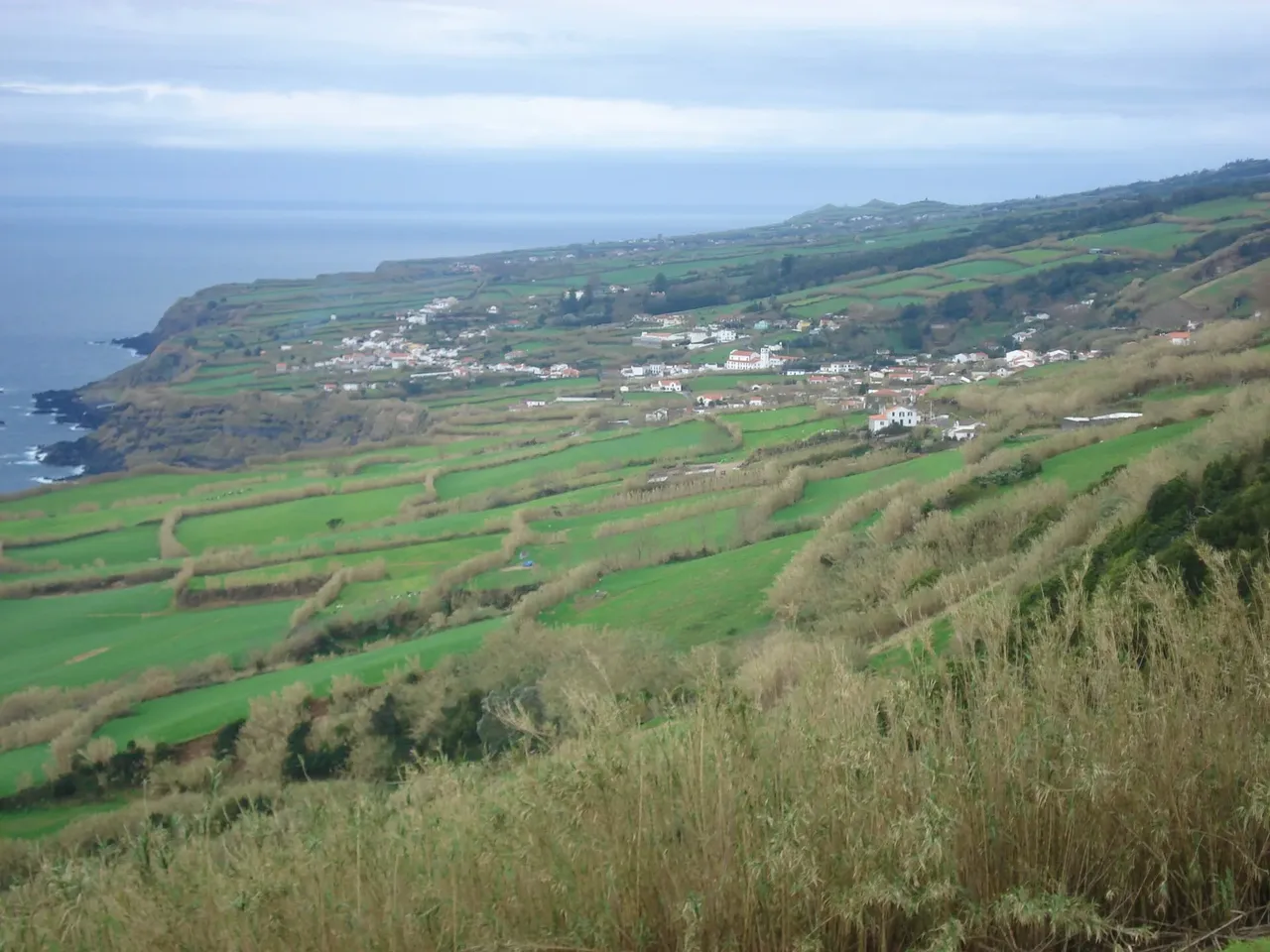
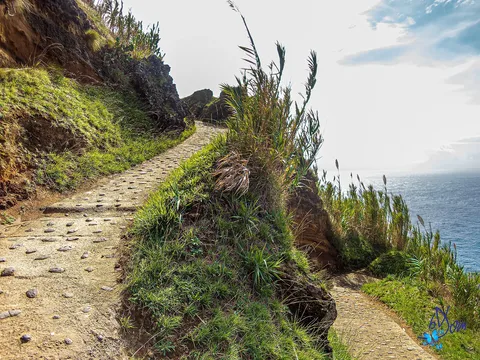
The walk starts and ends at the Vigia das Baleias viewpoint in Feteiras, a former whale-spotting post still used today to watch for whales offshore. From here the trail drops toward Fajã do Mar, a platform of slope debris that has broken away from the cliff face above, roughly 250 m high, with a side connection to the Rocha da Relva trail.
The descent exposes layered cliffs of red and black pumice and lapilli, yellowish tuff and grey lava flows, along with freshwater springs and the nesting holes of Cory's shearwaters, which breed in this protected habitat area. Along the way grow rock hay, fayatree, Azorean heather and milkweed, and a short detour leads to the old harbour of Cima das Feteiras and the Raçoula pool.
On the fajã itself, old wineries and summer houses recall a vineyard culture shaped by the sea's closeness, fertile volcanic soil and a mild microclimate. It's a medium walk of 5 km and about 2.5 hours, with some 350 m of climbing on the return to the clifftop.
Elevation · from the official GPX
Up and down the trail
Plan your walk · MET Norway & IPMA
When to go
Pick a start time. We forecast where you'll be each hour — 6 m at the lowest point, 281 m at the top.
Official facts, our words
What to know
Trail facts
Difficulty Moderate- Length
- 5 km
- Duration
- 2 hr 30 min
- Elevation gain
- 351 m
- Route
- Circular
- Highest point
- 281 m
- Steepest descent
- 37% at km 1.4
- Start
- Vigia das Baleias viewpoint, Feteiras
- Finish
- Vigia das Baleias viewpoint, Feteiras
- Permit
- Not required
- Trail code
- PRC46SMI
Route and facts © Azores trails network (visitazores.com)