Trails · Moderate
Rocha da Relva
An out-and-back descent to the sea near Rocha da Relva, through terraced vineyards and small farms, to one of São Miguel's few detrital fajãs.
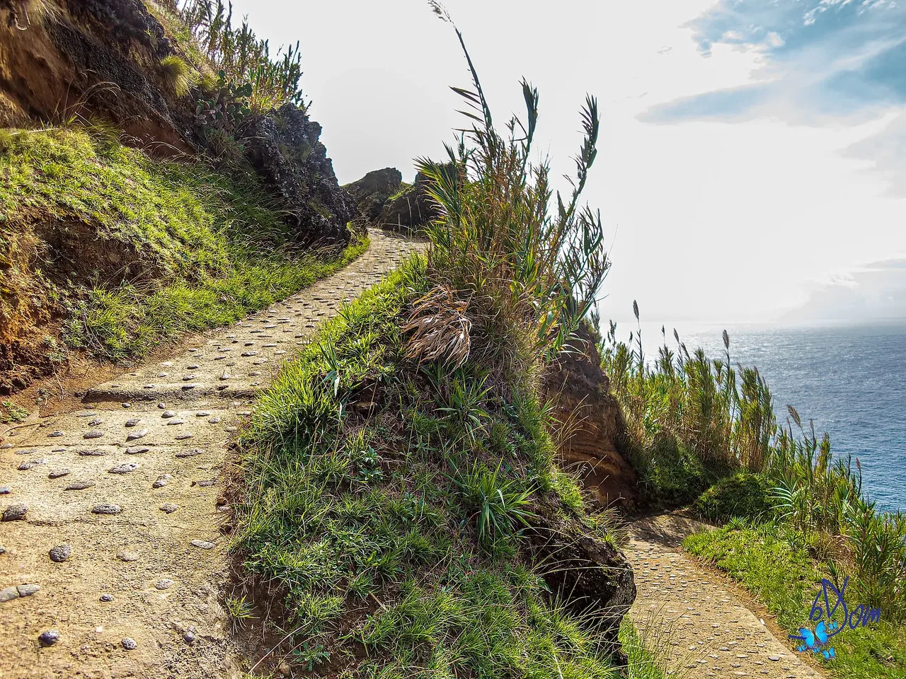
Photo: bDom - artiste - www.bdom.info from Enghien, Belgique · CC BY 2.0
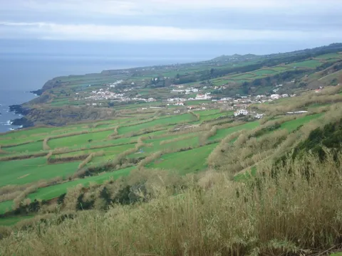
This out-and-back route runs from a hilltop start down toward Rocha da Relva, one of the few detrital fajãs on São Miguel. A paved road drops first toward Rocha do Cascalho, past wine cellars, houses and vineyards grown behind low basalt walls that shelter the vines from sea spray and give the grapes their distinctive taste; at sea level there's a resting area, and swimming in the Atlantic is an option when conditions allow.
Back up at the junction, the route continues toward Rocha da Relva itself, passing summer houses, vineyard and orchard plots, and the donkeys still used locally to carry materials down to the hamlet. Please don't pick any fruit or produce along the way; the trail also passes fountains, a resting area and a small shrine to Nossa Senhora dos Anjos before reaching the last houses and turning back the way it came.
At about 5.6 km and 3 hours, with roughly 420 m of climbing on the return each time, the descent is easy but the way back up is a sustained effort for a short distance.
Elevation · from the official GPX
Up and down the trail
Plan your walk · MET Norway & IPMA
When to go
Pick a start time. We forecast where you'll be each hour — 4 m at the lowest point, 168 m at the top.
Official facts, our words
What to know
Trail facts
Difficulty Moderate- Length
- 5.6 km
- Duration
- 3 hr
- Elevation gain
- 417 m
- Route
- Circular
- Highest point
- 168 m
- Steepest climb
- 31% at km 0.9
- Start
- Trailhead above Rocha do Cascalho
- Finish
- Rocha da Relva
- Permit
- Not required
- Trail code
- PR20SMI
Route and facts © Azores trails network (visitazores.com)