Trails · Easy
Baías da Agualva
A short walk along Terceira's north coast past dramatic basalt bays and cliffs, with sea birds overhead and rare endemic plants underfoot.
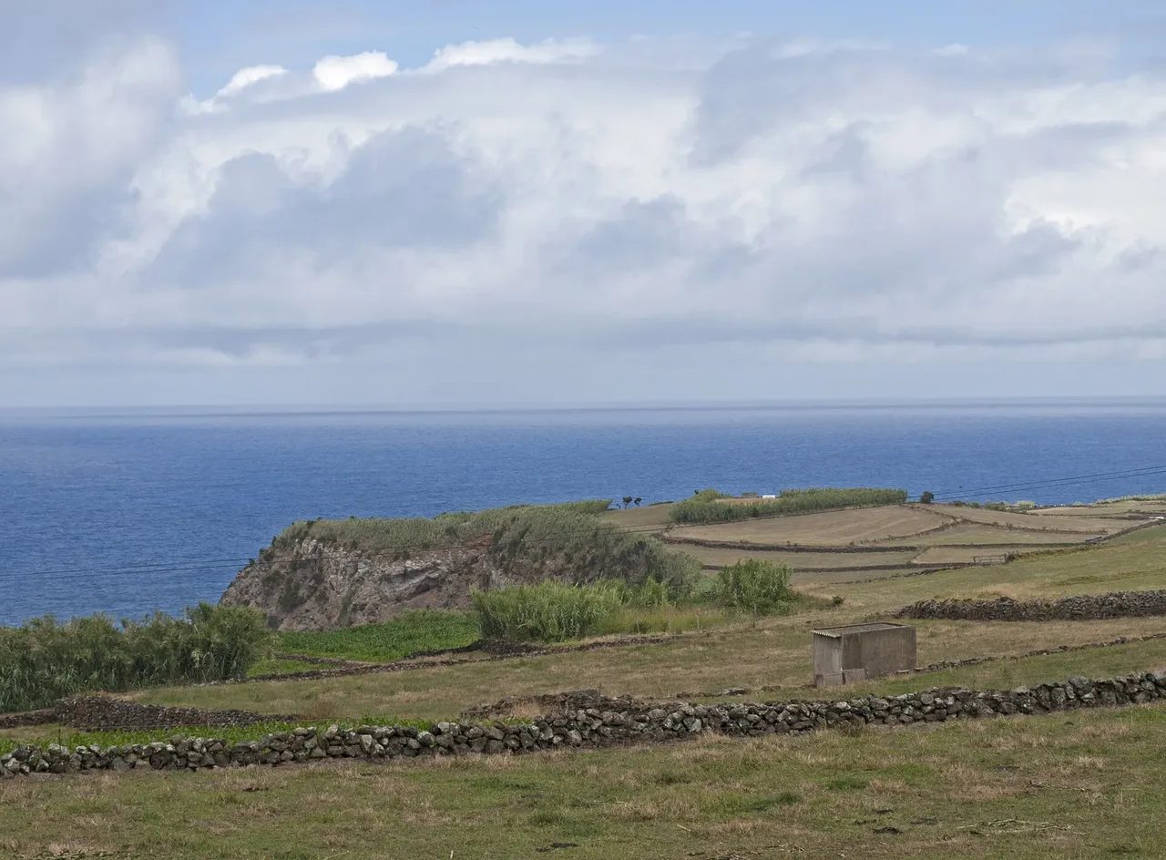
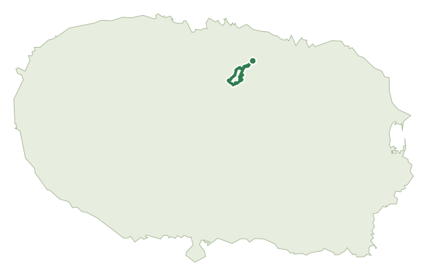
This short linear route follows Terceira's north coast between the parishes of Agualva and Quatro Ribeiras, almost entirely inside a protected area of the Terceira Nature Park. It drops from the car park into a landscape of pebble bays, fossil cliffs and columnar basalt shaped by volcanic activity going back some 23,000 years.
From Canada da Alagoa the path descends to the geosite of Alagoa da Fajãzinha, an old bay filled in by stream sediment and backed by a pebble beach. West of here the route passes a string of smaller bays below cliffs up to about 70 m high, finishing near Quatro Ribeiras. Keep an eye out for the Azorean bellflower, Azorean heather and other plants that grow only on these sea cliffs, and for shearwaters and terns nesting along the way.
At under 4 km and around two hours, this is an easy outing, though the path dips and climbs repeatedly between the bays, adding up to roughly 230 m of ascent over the whole route.
The route sits inside a Special Area of Conservation, an Important Bird Area and an Azores Geopark geosite, so keep to the marked path and leave the nesting birds undisturbed.
Elevation · from the official GPX
Up and down the trail
Plan your walk · MET Norway & IPMA
When to go
Pick a start time. We forecast where you'll be each hour — 6 m at the lowest point, 118 m at the top.
Official facts, our words
What to know
Trail facts
Difficulty Easy- Length
- 3.9 km
- Duration
- 2 hr
- Elevation gain
- 236 m
- Route
- Linear
- Highest point
- 118 m
- Steepest descent
- 18% at km 2.2
- Start
- Canada da Alagoa
- Finish
- Quatro Ribeiras
- Permit
- Not required
- Trail code
- PR02TER
Route and facts © Azores trails network (visitazores.com)