Trails · Easy
Relheiras de São Brás
An easy forest walk past cart-wheel grooves cut into rock by centuries of oxcarts, with a hidden waterfall and views to Pico Alto.
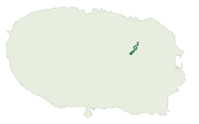
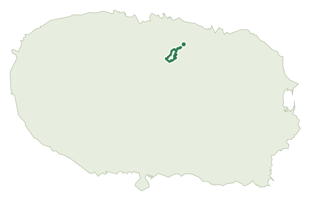
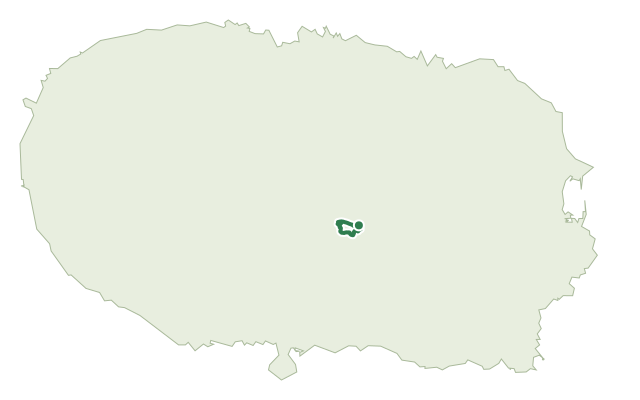
This easy loop sits mostly inside the Biscoito das Fontinhas forest, starting next to the São Brás picnic area and running through the Forest Nursery of Native Species, where endemic plants are grown and visitors learn about their conservation.
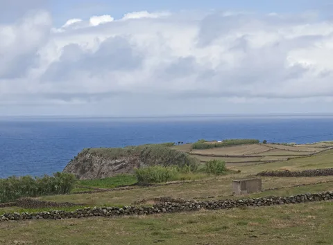
Past a corridor of labelled endemic flora, most of the route runs through old-growth eucalyptus and Japanese cedar, important habitat for Azorean invertebrates and a nesting site for the Azorean wood pigeon. At the edge of the protected forest stands a monument to the oxcart and the trail's namesake relheiras, deep ruts worn into the rock by generations of cart wheels, along with the Fonte do Cão fountain and a basalt sculpture of Terceira. There are views to the geosites of Pico Alto and Serra do Cume along the way, and roughly halfway, near the slope of the Ribeira dos Pães watercourse, the Pulho do Salto waterfall.
It's rated easy and covers about 6.6 km in around two hours, with a gentle climb of under 200 m.
Elevation · from the official GPX
Up and down the trail
Plan your walk · MET Norway & IPMA
When to go
Pick a start time. We forecast where you'll be each hour — 192 m at the lowest point, 297 m at the top.
Official facts, our words
What to know
Trail facts
Difficulty Easy- Length
- 6.6 km
- Duration
- 2 hr
- Elevation gain
- 195 m
- Route
- Circular
- Highest point
- 297 m
- Steepest climb
- 9% at km 2.9
- Start
- Parque de Merendas de São Brás
- Finish
- Parque de Merendas de São Brás
- Permit
- Not required
- Trail code
- PRC08TER
Route and facts © Azores trails network (visitazores.com)