Trails · Easy
Caldeira
An easy loop around the rim of Faial's dormant Caldeira, the island's defining crater.
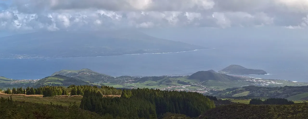
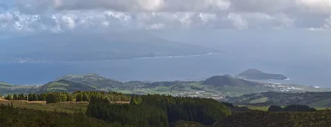
The walk starts at the Caldeira viewpoint, where a short tunnel opens onto the crater interior, two kilometres across and shaped by eruptions over the last 400,000 years. From there a staircase leads up to a dirt road toward the Chapel of São João, with endemic flora along the way - Azores juniper, heather, Azorean blueberry, Azorean euphorbia and Azorean angelica.
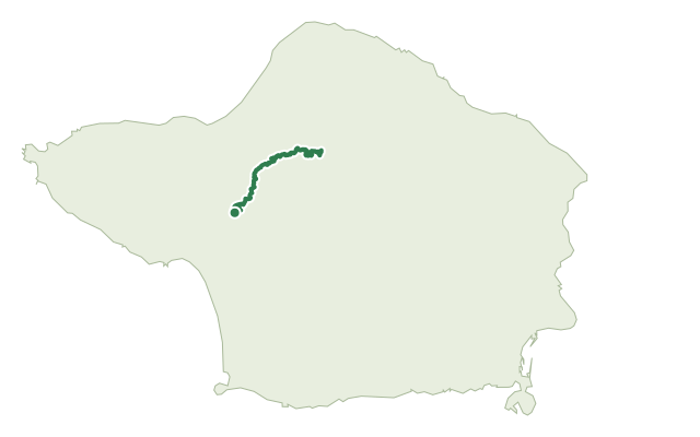
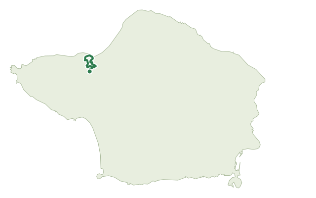
Rounding the rim brings views over the north and west coasts as well as the crater floor, with a junction partway to the Dez Vulcões trail on the west side. Before the final descent, the route climbs to Cabeço Gordo, the trail's high point, then drops back to the starting viewpoint over ground the operator describes as sharply uneven; from the car park there is also a link to the Caminhos Velhos trail on the east side.
At 6.8 km with about 480 m of climb, this loop is rated easy but keeps a steady grade throughout, taking around two and a half hours.
Elevation · from the official GPX
Up and down the trail
Plan your walk · MET Norway & IPMA
When to go
Pick a start time. We forecast where you'll be each hour — 841 m at the lowest point, 1,034 m at the top.
Official facts, our words
What to know
Trail facts
Difficulty Easy- Length
- 6.8 km
- Duration
- 2 hr 30 min
- Elevation gain
- 484 m
- Route
- Circular
- Highest point
- 1,034 m
- Steepest climb
- 41% at km 0.6
- Start
- Caldeira viewpoint
- Finish
- Caldeira viewpoint
- Permit
- Not required
- Trail code
- PRC04FAI
Route and facts © Azores trails network (visitazores.com)