Trails · Hard
Dez Vulcões
A mostly downhill crossing of Faial's volcanic heartland, from the Caldeira's rim to the lunar ash fields of Capelinhos.
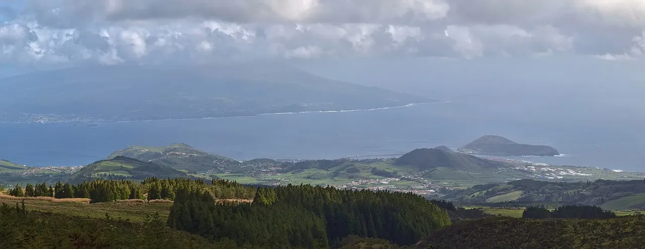
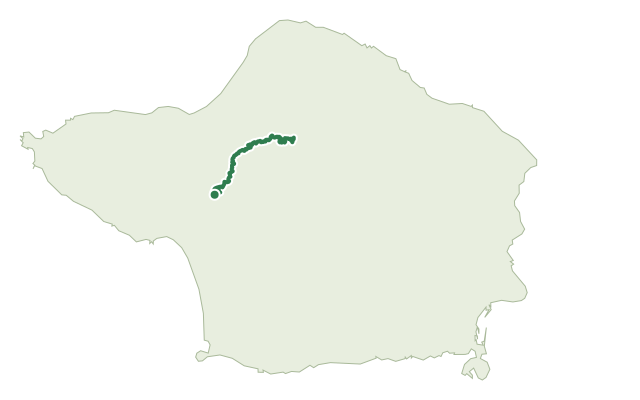
The walk starts at the Caldeira viewpoint, with a short tunnel giving a first look into the crater before the route skirts its rim on the way to Cabeço Gordo. From there it turns west and drops steadily through forest and dirt roads, rejoining the Levada route near Cabeço dos Trinta, with a short detour available into the lava tunnel there.
Further on, the trail passes the viewpoint of Cabeço do Fogo, a nesting area for the Azores woodpigeon, before crossing farmland and pastures past Furna Ruim and Algar do Caldeirão. After a careful road crossing, it reaches the ash-grey plain of Capelinhos, built up by the 1957-58 eruption, and finishes at the car park by its Interpretation Centre.
At 19.3 km, this trail climbs only about 650 m but loses close to 1,470 m, so the knees do the work over roughly five hours. Start in clear conditions: the Caldeira, where the route begins, sits above 900 m and clouds over fast.
Elevation · from the official GPX
Up and down the trail
Plan your walk · MET Norway & IPMA
When to go
Pick a start time. We forecast where you'll be each hour — 72 m at the lowest point, 922 m at the top.
Official facts, our words
What to know
Trail facts
Difficulty Hard- Length
- 19.3 km
- Duration
- 5 hr
- Elevation gain
- 633 m
- Route
- Linear
- Highest point
- 922 m
- Steepest descent
- 35% at km 10.7
- Start
- Caldeira viewpoint
- Finish
- Capelinhos Interpretation Centre
- Permit
- Not required
- Trail code
- PR06FAI
Route and facts © Azores trails network (visitazores.com)