Trails · Easy
Levada
An easy walk along one of the Azores' great engineering works, a historic water channel through Faial's laurel forest.
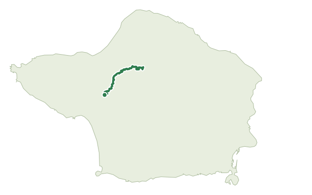
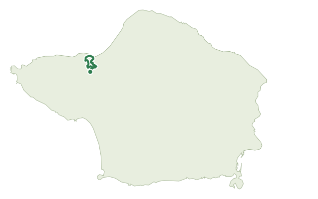
This route begins near Cabeço dos Trinta in the village of Capelo, where a short detour leads into a tunnel inside the volcanic cone itself. From there the path follows the levada, a water channel opened in 1964 after four years of construction, which still carries water to a small hydroelectric plant at Varadouro.
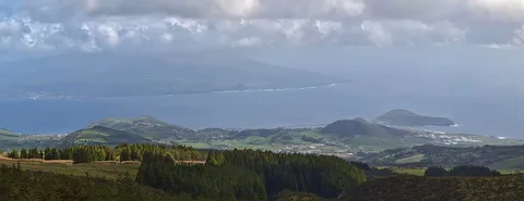
Along the way, clearings open onto views of the aligned volcanic cones of the Capelo complex, and the forest closes in with Azores laurel, buckthorn, Azorean holly and heather, home to blackbirds, goldcrests and chaffinches. The trail follows the channel for its final two kilometres, restored in 2013, before finishing at Alto do Chão in the village of Cedros.
At 7.6 km with about 390 m of climb, this is an easy outing of around two and a half hours, mostly on level ground beside the water.
Elevation · from the official GPX
Up and down the trail
Plan your walk · MET Norway & IPMA
When to go
Pick a start time. We forecast where you'll be each hour — 613 m at the lowest point, 732 m at the top.
Official facts, our words
What to know
Trail facts
Difficulty Easy- Length
- 7.6 km
- Duration
- 2 hr 30 min
- Elevation gain
- 389 m
- Route
- Linear
- Highest point
- 732 m
- Steepest climb
- 24% at km 5.8
- Start
- Cabeço dos Trinta, Capelo
- Finish
- Alto do Chão, Cedros
- Permit
- Not required
- Trail code
- PR03FAI
Route and facts © Azores trails network (visitazores.com)