Trails · Moderate
Caldeirão
A short loop into Corvo's volcanic crater, past wetlands, two lakes and free-roaming cattle.
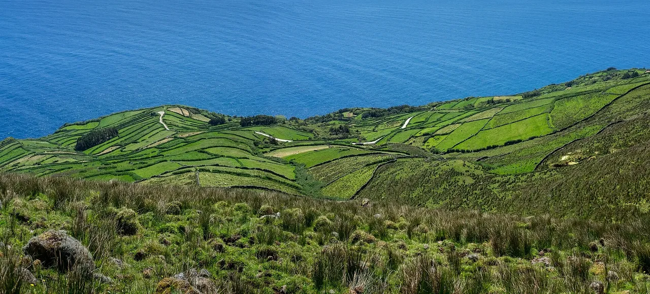
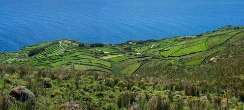
The loop starts at the Caldeirão viewpoint, where a tunnel opens onto the crater interior; according to local tradition, the lake and its few cones recall the nine islands of the Azores. The path winds down through peat moss into the crater, and at a large boulder it turns right to go counterclockwise around the rim, with smaller trail markers in places, sized to survive the island's free-roaming cattle, horses and goats that share the ground.
Inside, a wetland system and two lakes are fed by rain and by water held in the thick peat on the north-facing slopes, among the country's oldest and largest peatlands. The path passes Poço da Velha and skirts a swampy area before returning to the big boulder and climbing back out to the viewpoint where the walk began.
At 4.8 km with about 190 m of climb, this loop into the crater and back out takes around two and a half hours.
Elevation · from the official GPX
Up and down the trail
Plan your walk · MET Norway & IPMA
When to go
Pick a start time. We forecast where you'll be each hour — 399 m at the lowest point, 560 m at the top.
Official facts, our words
What to know
Trail facts
Difficulty Moderate- Length
- 4.8 km
- Duration
- 2 hr 30 min
- Elevation gain
- 191 m
- Route
- Circular
- Highest point
- 560 m
- Steepest descent
- 23% at km 0.0
- Start
- Caldeirão viewpoint
- Finish
- Caldeirão viewpoint
- Permit
- Not required
- Trail code
- PRC02COR
Route and facts © Azores trails network (visitazores.com)