Trails · Moderate
Cara do Índio
A long descent from Corvo's crater rim to the village, past a rock sculpted into a face and down to the sea.
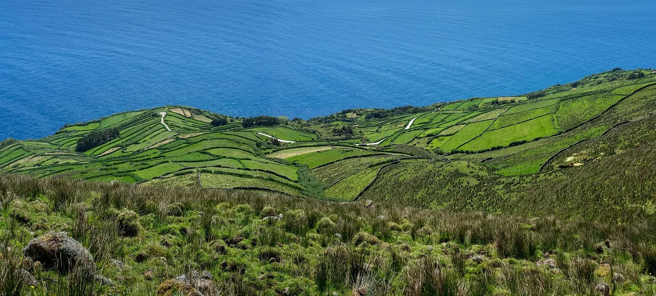
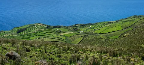
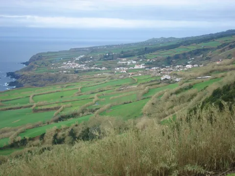
The route leaves the area near the Caldeirão and follows the paved road south, past the old forestry house and a dirt track beside the Trevo stream to artificial water tanks built between 2002 and 2013 that still supply the village. It skirts a south-facing volcanic cone known as the Coroínha geosite and the cliff of Pingas, with views across to Flores, before crossing fields and pastures lined with dry stone walls.
Further down, a steep shortcut through heather and Azores juniper passes old shelters cut into the rock before reaching Cara do Índio, a basalt outcrop eroded by the sea into the shape of a face. From a viewpoint over Vila do Corvo, the trail crosses a road into the historic streets of the village, shaped in the 16th and 17th centuries by the threat of pirate raids, passes traditional windmills and finishes at Praia da Areia beach, with the island's Eco Museum nearby in the village centre.
At 10.3 km, this trail has a gentle 236 m of climb but a steep 783 m of descent from the highlands to the sea, taking around three hours.
Elevation · from the official GPX
Up and down the trail
Plan your walk · MET Norway & IPMA
When to go
Pick a start time. We forecast where you'll be each hour — 1 m at the lowest point, 556 m at the top.
Official facts, our words
What to know
Trail facts
Difficulty Moderate- Length
- 10.3 km
- Duration
- 3 hr
- Elevation gain
- 236 m
- Route
- Linear
- Highest point
- 556 m
- Steepest descent
- 37% at km 7.6
- Start
- Caldeirão
- Finish
- Praia da Areia, Vila do Corvo
- Permit
- Not required
- Trail code
- PR01COR
Route and facts © Azores trails network (visitazores.com)