Trails · Easy
Vinhas de São Caetano
An easy, flat coastal loop past abandoned vineyard pits, a geopark islet and the ruins of a 17th-century fort near Livramento.
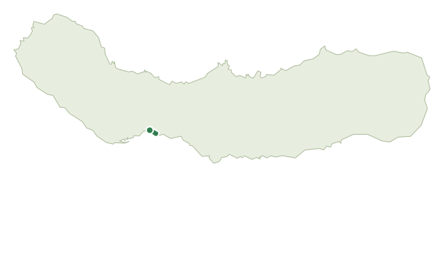
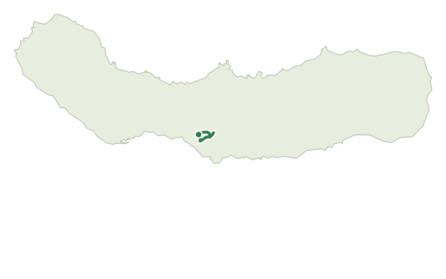
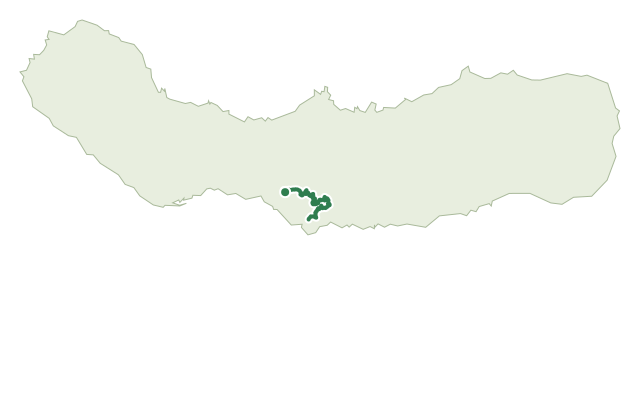
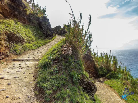
The walk starts and ends at Mata do Café, in the parish of Livramento, and follows the flat southern coastline in an easy circle. It passes beaches of volcanic sand and pebbles and fields of rough aa-type lava, with the São Roque Islet — the eroded remains of a surtseyan tuff cone — visible offshore as a geosite of the Azores Geopark.
Much of the ground cover is invasive prickly pear, though native coastal plants such as spiny rush, Azorean bellflower and sea fennel still survive here. The route passes the old vineyard pits of São Caetano, where vines were once grown in a distinctive pitted pattern, similar in idea to Pico's walled plots, for a wine trade that lasted into the 19th century, as well as the ruins of the 17th-century Fort of São Caetano and traditional fishing spots such as Ponta Grossa, Furada and Borralho that are still used by locals today.
It's an easy 3.4 km loop with very little climbing, making for a relaxed walk. The route runs through built-up sections of Livramento and São Roque for part of its length.
Elevation · from the official GPX
Up and down the trail
Plan your walk · MET Norway & IPMA
When to go
Pick a start time. We forecast where you'll be each hour — 1 m at the lowest point, 29 m at the top.
Official facts, our words
What to know
Trail facts
Difficulty Easy- Length
- 3.4 km
- Elevation gain
- 43 m
- Route
- Circular
- Highest point
- 29 m
- Steepest climb
- 6% at km 3.1
- Start
- Mata do Café, Livramento
- Finish
- Mata do Café, Livramento
- Permit
- Not required
- Trail code
- PRC48SMI
Route and facts © Azores trails network (visitazores.com)