Trails · Easy
Rota da Água - Janela do Inferno
An easy water-heritage walk past aqueducts, tunnels and the spring-fed rock window of Janela do Inferno, above Lagoa's south coast.
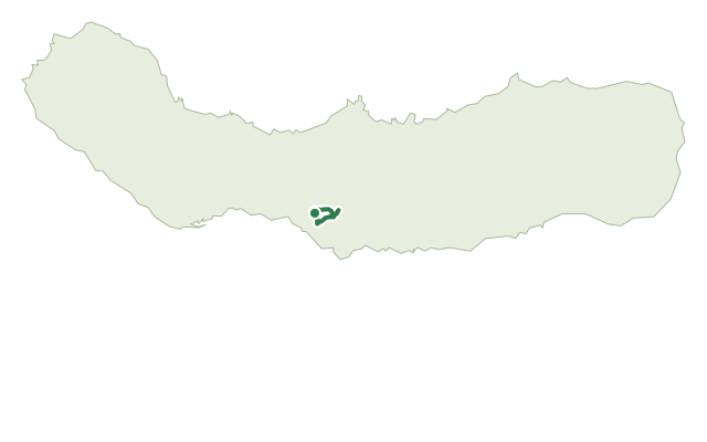
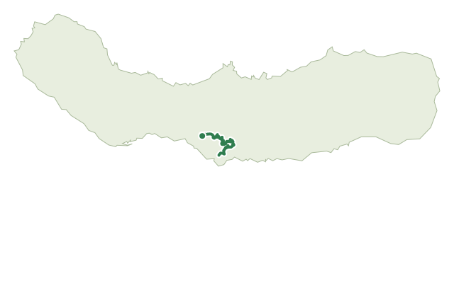
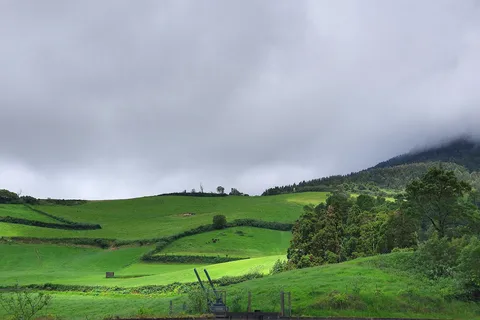
The walk starts at Casa da Água, a former milk depot turned hiker support point promoting the municipality of Lagoa, and heads down past a picnic area to the secondary road for Água de Pau. A dirt road climbs with views over Lagoa and Ponta Delgada, crosses a water line and passes through the first of several tunnels built to carry water, alongside a support house for water harvesting.
Following the Ribeira Seca stream past the junction with the trail to Água de Pau, the route reaches Janela do Inferno, a vertical rock wall riddled with springs and a cavity carved by water erosion, with a natural pond at its base where newts (Triturus cristatus) can sometimes be seen. The trail then doubles back along the opposite bank, crossing a series of old aqueducts that once fed Lagoa's alcohol factory and still supply the municipality's water today.
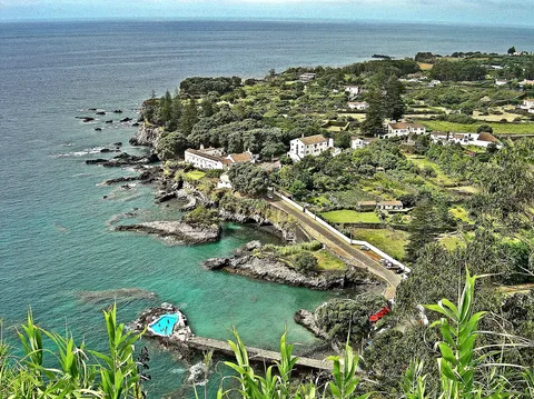
A final tunnel, about 50 m long, leads onto farm tracks; cross the regional road carefully here. A lookout gives a last view toward Ponta Delgada before the path runs through the village of Remédios, past the hilltop chapel of Nossa Senhora dos Remédios and its view over the south coast, back to Casa da Água. It's an easy loop of 7.6 km and about 2.5 hours, with a gentle climb of around 280 m along the way.
Elevation · from the official GPX
Up and down the trail
Plan your walk · MET Norway & IPMA
When to go
Pick a start time. We forecast where you'll be each hour — 218 m at the lowest point, 410 m at the top.
Official facts, our words
What to know
Trail facts
Difficulty Easy- Length
- 7.6 km
- Duration
- 2 hr 30 min
- Elevation gain
- 280 m
- Route
- Circular
- Highest point
- 410 m
- Steepest climb
- 20% at km 0.6
- Start
- Casa da Água, Lagoa
- Finish
- Casa da Água, Lagoa
- Permit
- Not required
- Trail code
- PRC37SMI
Route and facts © Azores trails network (visitazores.com)