Trails · Moderate
Rota da Água-Pedras Brancas
A wooded walk from Ribeira Chã to Água de Pau, past a trachyte climbing wall known as Pedras Brancas and a village known for its taro porridge.
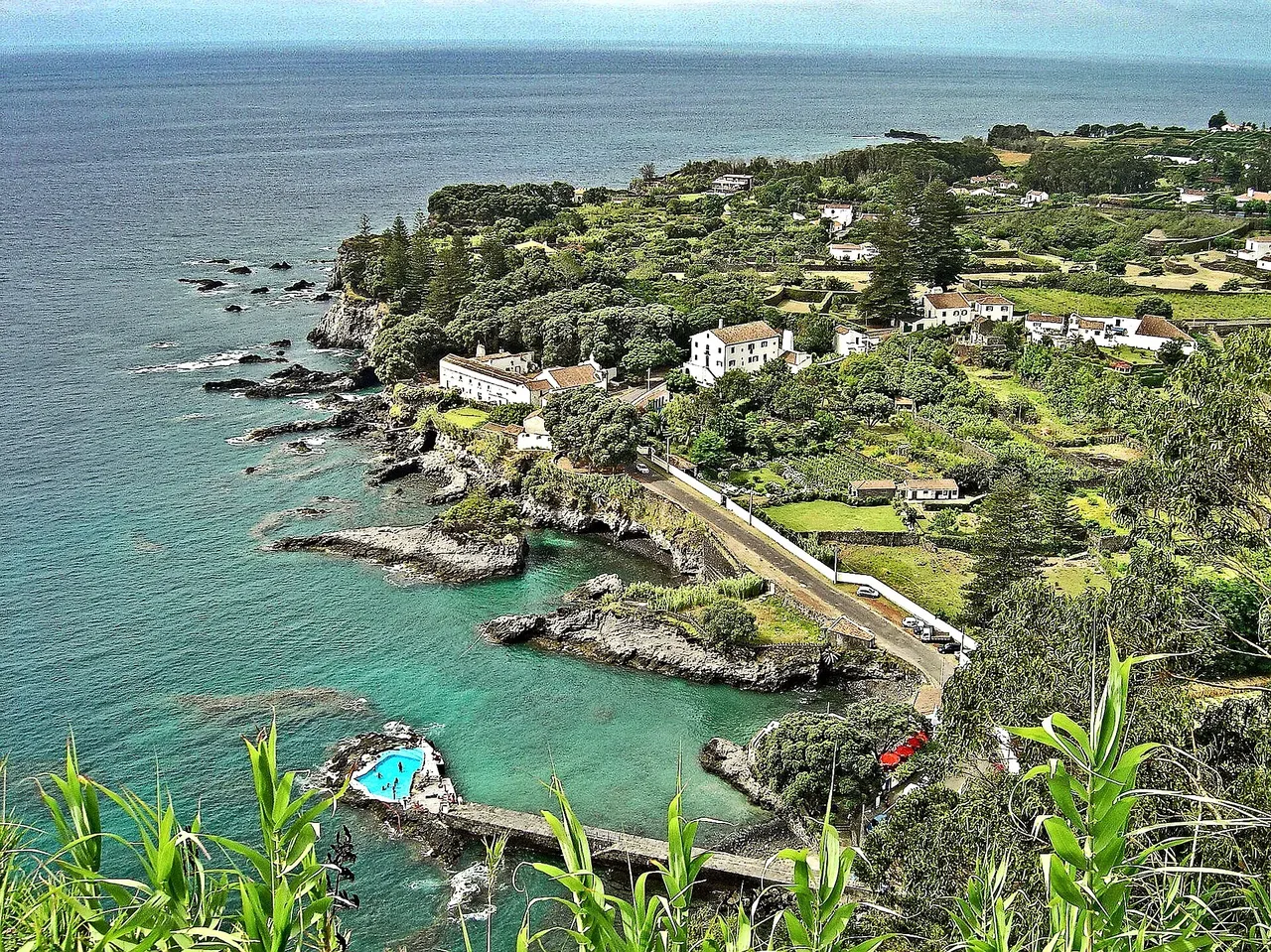
Photo: Vitor Oliveira from Torres Vedras, PORTUGAL · CC BY-SA 2.0
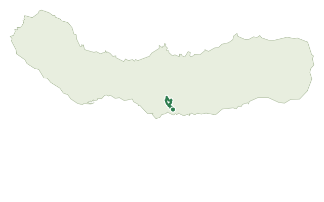
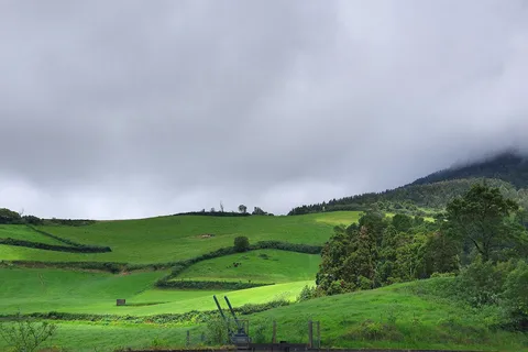
This moderate trail links the village of Ribeira Chã, known for its heritage museums and for a local sweet made from the rhizome of the Italian arum plant, to Água de Pau. It climbs through the village, crosses above the main highway, and continues on a dirt road through pastures and fields to a junction with the PR42 SMI trail.
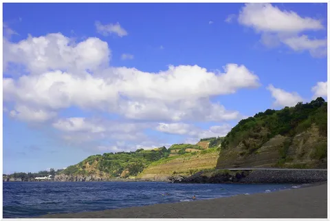
From there, the path drops through woodland of Australian cheesewood, Japanese cedar and tree ferns, passing a vertical trachyte wall known locally as Pedras Brancas, popular with climbers and abseilers. Further on, it crosses a tarmac road and continues on dirt tracks through more pastures and fields toward Água de Pau.
The trail ends in the village centre, near the 1931 Chapel of Nossa Senhora do Monte Santo, with the geosite of Fajã lávica and the fossil cliff of Caloura within reach when weather allows. At about 5.2 km and 2 hours, with roughly 320 m of climbing and 300 m of descent, it's a steady woodland walk between two villages.
Elevation · from the official GPX
Up and down the trail
Plan your walk · MET Norway & IPMA
When to go
Pick a start time. We forecast where you'll be each hour — 88 m at the lowest point, 296 m at the top.
Official facts, our words
What to know
Trail facts
Difficulty Moderate- Length
- 5.2 km
- Duration
- 2 hr
- Elevation gain
- 318 m
- Route
- Linear
- Highest point
- 296 m
- Steepest descent
- 34% at km 4.5
- Start
- Ribeira Chã
- Finish
- Água de Pau
- Permit
- Not required
- Trail code
- PR41SMI
Route and facts © Azores trails network (visitazores.com)