Trails · Easy
Quatro Fábricas de Luz
A short industrial-heritage walk past the ruins of São Miguel's earliest hydroelectric plants, with swimming spots along the stream.
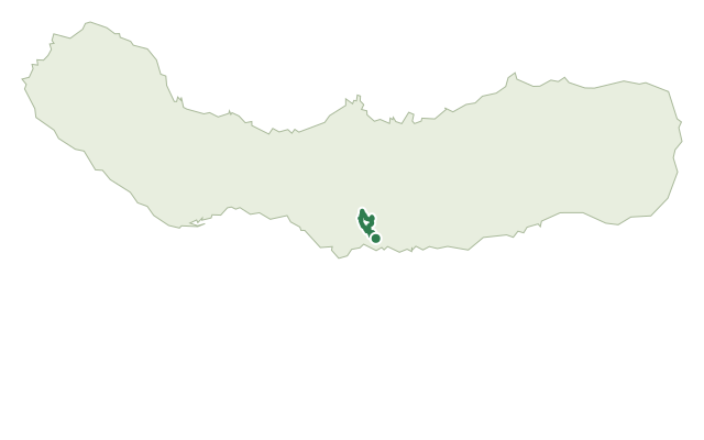
This easy trail traces the early history of electricity production on São Miguel, pioneered by engineer José Cordeiro (1867-1908) in the late 19th and early 20th centuries. From the Parque Escutista dos Lagos, it crosses a gate by the stream to a water reservoir that once supplied the Fábrica da Cidade (1904-1974), a plant now replaced by the Mini Hydric Central of Ribeira da Praia, built in 1990.
The route continues down past the ruins of the Fábrica da Cidade and a detour to the old loading chamber of the Fábrica da Vila, before reaching the base of a waterfall where the ruins of the Fábrica da Vila (1899/1900-1972), the oldest of the four plants, still stand. From there, a wooded path parallel to the stream leads past two swimming spots, the Cascata do Segredo waterfall and the Poço dos 30 Reis pool.
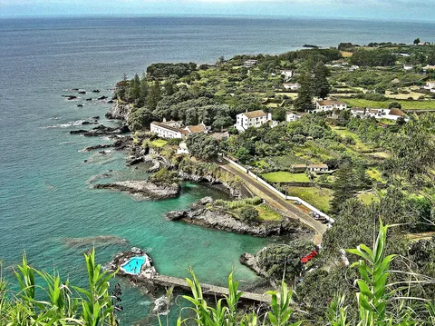
The trail follows an old water pipe to Lugar da Praia, near the small museum dedicated to the island's early electricity industry, the Fábrica da Praia (1911-1974), which can be visited by prior arrangement. At about 2.1 km and 90 minutes, with around 240 m of climbing and descending each way, this short walk packs in a surprising amount of up and down.
Elevation · from the official GPX
Up and down the trail
Plan your walk · MET Norway & IPMA
When to go
Pick a start time. We forecast where you'll be each hour — 0 m at the lowest point, 197 m at the top.
Official facts, our words
What to know
Trail facts
Difficulty Easy- Length
- 2.1 km
- Duration
- 1 hr 30 min
- Elevation gain
- 240 m
- Route
- Linear
- Highest point
- 197 m
- Steepest descent
- 24% at km 3.5
- Start
- Parque Escutista dos Lagos
- Finish
- Lugar da Praia
- Permit
- Not required
- Trail code
- PR39SMI
Route and facts © Azores trails network (visitazores.com)