Trails · Moderate
Lagoa do Fogo
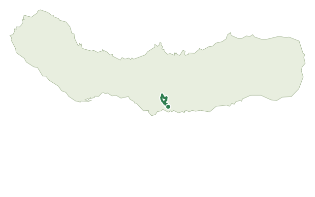
The only certified trail to the crater lake of Lagoa do Fogo, a Nature Reserve on São Miguel, through farmland, managed forest and native highland scrub.
This out-and-back route from the Parque Escutista dos Lagos is the only certified walking trail giving access to Lagoa do Fogo, a Nature Reserve and one of São Miguel's most striking landscapes. Water is the thread running through it: levadas, catchments and other works tied to the Ribeira da Praia stream, which still feeds the island's public supply.
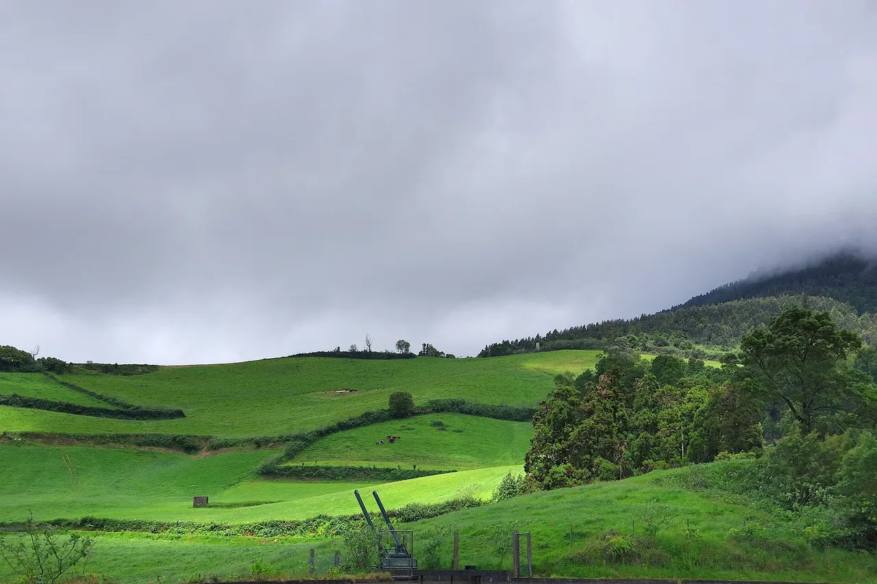
The trail moves through farmland and plantations of New Zealand flax, then managed forest of Japanese cedar and other introduced species, before giving way to native highland vegetation near the lake, including Azorean heather and Azorean blueberry. It crosses the steep-sided valley of Ribeira da Praia, where springs developed since the 1980s still help supply Ponta Delgada.
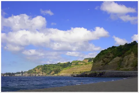
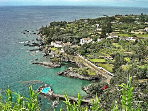
At the shore of Lagoa do Fogo, keep a respectful distance from nesting seagulls in April and May. The walk back follows the same path, with wide views over the south coast toward Vila Franca do Campo and its islet; at about 10.2 km and 4 hours, with around 610 m of climbing each way, this is a full-day outing best tackled with a reasonable level of fitness.
Elevation · from the official GPX
Up and down the trail
Plan your walk · MET Norway & IPMA
When to go
Pick a start time. We forecast where you'll be each hour — 194 m at the lowest point, 579 m at the top.
Official facts, our words
What to know
Trail facts
Difficulty Moderate- Length
- 10.2 km
- Duration
- 4 hr
- Elevation gain
- 611 m
- Route
- Circular
- Highest point
- 579 m
- Steepest climb
- 26% at km 1.5
- Start
- Parque Escutista dos Lagos
- Finish
- Lagoa do Fogo
- Permit
- Not required
- Trail code
- PR02SMI
Route and facts © Azores trails network (visitazores.com)