Trails · Moderate
Pico da Praia
A long forest walk along the Serra de Água de Pau's southern slope, past an old flax mill and a detour to Lagoa do Fogo, with views to the Vila Franca islet.
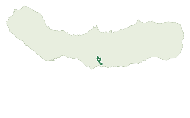
The route begins on the Ribeira da Praia path and runs along the southern slope of the Serra de Água de Pau, linking the municipalities of Vila Franca do Campo and Lagoa. It takes its name from Pico da Praia, a rise built up from pumice thrown out by the Fogo volcano and now capped in cryptomeria forest.
At the spillway of the Central Nova hydropower dam, an optional 5 km round-trip detour follows a levada south to Lagoa do Fogo, a nature reserve and geosite of the Azores Geopark. The main route passes the streams of Ribeira das Três Voltas and Ribeira dos Passarinhos and the ruins of an old flax mill, where New Zealand flax (Phormium tenax) was once processed into cordage, rope and coarse cloth for the water-supply systems that still serve Lagoa and Ponta Delgada today.
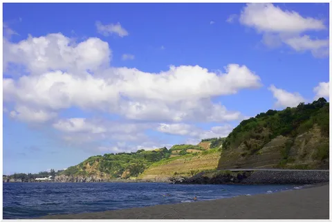
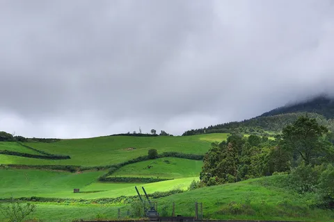
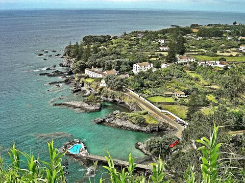
The landscape alternates Japanese cedar, eucalyptus and cheesewood with open pasture, and higher up gives way to Azorean heather, common heather and laurel. Open stretches look out over Pico da Praia, the coast and the Vila Franca islet, which the 16th-century chronicler Gaspar Frutuoso called the most sublime of all the islands' islets. It's a medium 8.9 km walk of about 2.5 hours, with roughly 570 m of climbing, and is recommended counter-clockwise.
Elevation · from the official GPX
Up and down the trail
Plan your walk · MET Norway & IPMA
When to go
Pick a start time. We forecast where you'll be each hour — 145 m at the lowest point, 503 m at the top.
Official facts, our words
What to know
Trail facts
Difficulty Moderate- Length
- 8.9 km
- Duration
- 2 hr 30 min
- Elevation gain
- 567 m
- Route
- Circular
- Highest point
- 503 m
- Steepest climb
- 24% at km 1.5
- Start
- Ribeira da Praia trailhead
- Finish
- Ribeira da Praia trailhead
- Permit
- Not required
- Trail code
- PRC44SMI
Route and facts © Azores trails network (visitazores.com)