Trails · Moderate
Calheta do Nesquim
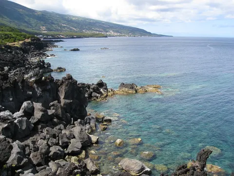
A coastal and woodland loop from the whaling village of Calheta do Nesquim, climbing for views before returning past a whale-watching tower.
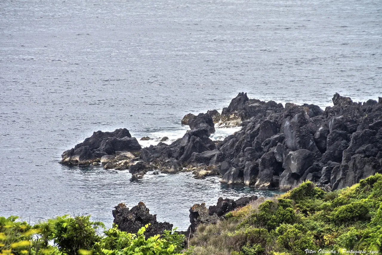
Photo: Vitor Oliveira from Torres Vedras, PORTUGAL · CC BY-SA 2.0
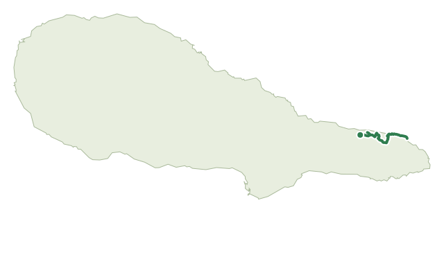
The loop starts and ends at the harbour of Calheta do Nesquim, by the 1852 church of São Sebastião and the House of Whaling Boats, a small museum on the village's whaling history — it's best walked clockwise for the views.
Following the coast to Feteira harbour, a small leisure spot with natural swimming pools, the trail then climbs through mixed woodland, including the Fetais wood, to a dirt road with views back down over the village and across to Pedra Aguda and Cabeço do Silvado.
The descent through Cascalheira passes a whale-watching tower worth a short stop, then crosses wine-growing fields and pasture before reaching Poça das Mujas bathing area and the Morro do Cão windmill, from where it's a short walk back to the harbour.
It's 9.1 km in about 3 hours, with roughly 450 m of climbing — the one sustained climb of the day — split between woodland and open pasture.
Elevation · from the official GPX
Up and down the trail
Plan your walk · MET Norway & IPMA
When to go
Pick a start time. We forecast where you'll be each hour — 9 m at the lowest point, 330 m at the top.
Official facts, our words
What to know
Trail facts
Difficulty Moderate- Length
- 9.1 km
- Duration
- 3 hr
- Elevation gain
- 449 m
- Route
- Circular
- Highest point
- 330 m
- Steepest climb
- 27% at km 1.4
- Start
- Calheta do Nesquim harbour
- Finish
- Calheta do Nesquim harbour
- Permit
- Not required
- Trail code
- PRC11PIC
Route and facts © Azores trails network (visitazores.com)